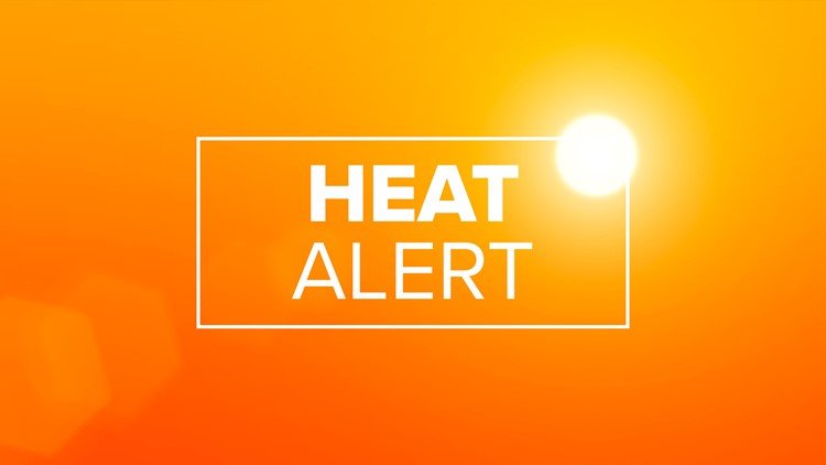
Scorching Heat Index to Top 105° Across the Triad This Weekend
GREENSBORO, N.C. — A dangerous wave of heat and humidity is expected to grip the Triad this weekend, pushing heat index values past 105 degrees, and possibly as high as 110° in certain areas. A WFMY News 2 Weather Impact Alert has been issued for Saturday and Sunday, warning of oppressive conditions that could impact health and safety.
Extreme Temperatures Fueled by High Pressure
The heat surge is being driven by a high-pressure system settling over the Mid-Atlantic, funneling hot, moisture-laden air into North Carolina. Forecasters say the most dangerous day will be Saturday, but conditions will be uncomfortable throughout the weekend.
- Friday: Transition day with highs in the low to mid 90s, heat index of 100–105°F
- Saturday: Peak danger with highs in the mid to upper 90s, heat index up to 110°F, especially in urban areas
- Sunday: Still oppressive with heat index values in the 102–108°F range
According to WFMY News 2, skies will remain mostly sunny, limiting any natural shade relief. While an isolated storm is possible Sunday afternoon, the overall chance of rainfall is low.
Hazards for Outdoor Workers and Vulnerable Groups
Forecasters warn that heat-related illness can set in quickly under these conditions. High humidity will push dew points into the mid-70s, making it difficult for the body to cool down through sweat evaporation.
Populations most at risk include:
- Outdoor workers and athletes
- Children and older adults
- Pets, especially those left outside or on hot pavement
A Heat Advisory or Excessive Heat Warning may be issued if conditions continue to deteriorate heading into the weekend.
How to Stay Safe During the Heat Wave
Officials and meteorologists urge everyone to take the following precautions:
- Hydrate frequently, even if you’re not thirsty
- Avoid peak heat hours between 2 p.m. and 6 p.m.
- Check on elderly neighbors, pets, and those without air conditioning
- Limit physical exertion to the early morning or evening
- Wear light, breathable clothing and stay in shaded areas
Even brief exposure to this level of heat can result in heat exhaustion or worse. Conditions will be especially brutal during Saturday’s peak hours, with little wind or storm activity to offer relief.
Relief May Arrive Next Week
Forecasters are hopeful that a weak front early next week could bring slightly cooler air by Wednesday. Until then, the focus remains on staying safe, reducing exposure, and checking weather alerts regularly.
The team at WFMY News 2 will continue to provide updates throughout the weekend as the heat builds across the region.
How are you handling the Triad’s heat wave? Let us know your tips for staying cool and safe — or share a story from your neighborhood with the Saluda Standard-Sentinel.