Climate Shift Behind Historic Flooding in North Carolina and Texas, Experts Say
NORTH CAROLINA — The devastating floods that struck parts of North Carolina and Texas in recent days may not just be isolated weather events, but signs of a broader climate-driven trend that could redefine how Americans experience storms in the coming years.
Experts are now pointing to record-high levels of precipitable water — the total amount of moisture in the atmosphere — as a major factor behind the intensity of the recent flash flooding, which claimed lives, destroyed property, and shut down key roads across both states.
What Is Precipitable Water — And Why It Matters
Precipitable water is a metric meteorologists use to measure how much rain a column of air could theoretically drop if all the moisture condensed and fell as precipitation. It’s a powerful indicator of how much rainfall a storm system can produce.
Over the past three years, global data shows that precipitable water levels have remained at or near record highs, and 2025 is on track to continue that trend. Meteorologist Ben Noll, who published a chart comparing data from 1940 to 2025, shows this year (2025) trailing only slightly behind 2023 in global moisture content — both years well above the long-term average.
“This thermodynamically-driven trend doesn’t cause storms,” the report explains, “but it can tilt the odds toward heavier rainfall once a storm develops.”
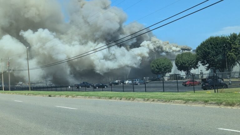
Flood Impacts Felt Hardest in North Carolina
In North Carolina, the impact of high atmospheric moisture became tragically clear when 83-year-old Sandra Hirschman died after her vehicle was swept more than 100 feet by floodwaters and submerged. State Highway Patrol confirmed her death and warned other residents to stay off roads as water levels continue to rise.
First responders in multiple counties also reported vehicle rescues, evacuations of mobile home parks, and roads washed out by torrential downpours.
This week’s rainfall was not necessarily unprecedented in inches alone — but it was supercharged by record humidity, turning a heavy rain into a catastrophic flood event.
Texas and the Bigger Picture
Texas also saw widespread flooding this week, with evacuations ordered in several towns and residents forced to wade through waterlogged streets. Meteorologists attribute the situation in part to the same rising trend in global precipitable water.
In both states, experts emphasize that such conditions would have still posed a serious threat even in previous decades — but today’s extra atmospheric moisture may be pushing events past the breaking point more quickly.
Climate Trends and Forecasting the Future
What makes this year’s data especially important is its place in a longer timeline. The Monthly Global Precipitable Water chart shows a clear pattern: starting around 2010, the upper range of moisture levels began to rise, accelerating notably in the early 2020s.
The chart places 2023 and 2025 at the top of this curve — historic highs in atmospheric water vapor.
This doesn’t mean every region will flood, but it does suggest that storms today are operating in a more moisture-rich atmosphere than decades prior — a key factor when comparing past weather records to present-day disasters.
As meteorologists continue tracking climate shifts, residents are urged to:
-
Pay close attention to local flood warnings
-
Understand their region’s flash flood risk
-
Prepare emergency plans and supplies in advance
-
Acknowledge that even familiar storms may behave differently in this new atmospheric reality
Have you experienced flood impacts in your area?
Tell us your story in the comments at SaludaStandard-Sentinel.com — and help raise awareness about the changing climate’s local effects.