Columbia, SC Braces for Heavy Rain and Storms Through Wednesday Night
COLUMBIA, SC — A volatile stretch of weather is unfolding across central South Carolina as Columbia prepares for rounds of heavy rain and thunderstorms that could bring flooding, power outages, and hazardous travel conditions through Wednesday night.
Severe Weather Expected to Intensify Midweek
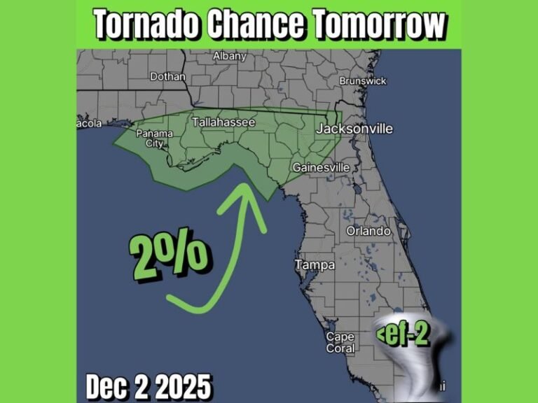
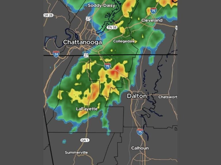
According to the National Weather Service, the region will experience a steady increase in thunderstorm activity beginning Tuesday morning, with the heaviest downpours expected Tuesday evening into Wednesday. Some storms may turn severe, packing frequent lightning and damaging wind gusts.
Rainfall amounts could exceed 2 inches in certain neighborhoods, especially where repetitive storm cells track across the same areas.
Travel, Power, and Flooding Concerns Across the Region
Residents in Richland and Lexington counties, including those commuting along I-20 and I-26, should prepare for flood-prone conditions and reduced visibility during peak driving times. Authorities are urging drivers to avoid low-lying roads and be alert for sudden water pooling in city streets.
Power companies and emergency crews are on standby, anticipating potential tree damage and power outages as storms roll through.
More Rain Into Thursday, Possible Improvements by Friday
While the strongest weather threat appears focused on Tuesday night and Wednesday, lingering showers and isolated storms are forecast through Thursday, potentially hampering outdoor plans and localized cleanup efforts.
Conditions are expected to gradually improve by Friday, with temperatures climbing back into the upper 80s and a slight chance of stray showers over the weekend.
Five-Day Forecast for Columbia, SC
- Tuesday: Heavy rain and thunderstorms, high near 82°F
- Wednesday: Thunderstorms likely, locally heavy rain, high 81°F
- Thursday: Showers and occasional storms, high 85°F
- Friday: Mostly cloudy, lingering showers, high 83°F
- Saturday: Partly sunny, slight chance of showers, high 84°F
Residents are encouraged to charge mobile devices, monitor local weather alerts, and avoid unnecessary travel when storms are active. Additional advisories may be issued if rainfall intensifies or storm tracks shift, prompting flash flood warnings or new severe thunderstorm watches.
Have you experienced flooding or storm damage in your area this week? Share your photos or updates with the SaludaStandard-Sentinel community to help keep others informed.