Cool Damp Weekend Ahead With Saturday Morning Rain, Mountain 30s Sunday, and Storm Signals Returning Wednesday Through Saturday Across the Region
THE CAROLINAS — A cool and damp weekend was shaping up across the region as Saturday morning rain, dropping temperatures, and an active pattern extending into next week combined to deliver a multi-day unsettled weather stretch across the Carolinas and surrounding areas.
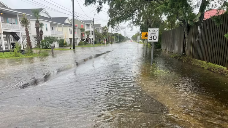
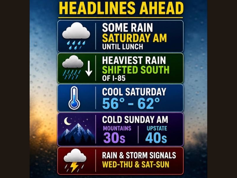
Saturday morning rain was expected to persist through the lunch hour before gradually tapering off, with temperatures staying cool in the 56 to 62 degree range through the afternoon hours. The track of the low pressure system had been steadily shifting southward, trimming back rain totals across many areas and pushing the heaviest rainfall south of the Interstate 85 corridor.
Heaviest Rain Shifts South of I-85
The southward shift of the low pressure track meant communities north of Interstate 85 were expected to see lighter and more scattered rainfall accumulations compared to earlier forecasts, while areas south of I-85 received the heaviest and most concentrated rainfall from the Saturday morning system. The track adjustment represented a meaningful change for communities that had anticipated higher totals, with the revised forecast delivering a cooler and damp but less impactful Saturday than previously expected across the northern portions of the region.
Temperatures holding in the 56 to 62 degree range through Saturday afternoon confirmed the cool and seasonably unpleasant character of the day across the full region.
Cold Sunday Morning Brings Mountain 30s and Upstate 40s
Behind Saturday’s rain, a cold Sunday morning was forecast to deliver temperatures dropping into the 30s across the mountains and into the 40s across upstate communities. The cold Sunday morning readings followed the pattern of the broader late season cold snap impacting the region, with mountain areas facing near freezing conditions while upstate communities experienced a noticeably chilly start before a gradual warmup developed through the day.
Active Pattern Returns Next Week With Multiple Storm Chances
The weekend weather was only a preview of the continued active pattern ahead, with rain and storm signals returning on Wednesday through Thursday and again on Saturday through Sunday of the following week. The persistent active weather pattern signaled that residents across the region should prepare for continued rounds of rainfall and storm chances through the coming week rather than expecting any extended dry and settled stretch in the near term forecast.
For continuing coverage of weather events and critical storm analysis across the United States, visit SaludaStandard-Sentinel.com.