Sneaky Snowfall Accumulation Possible Overnight Into Thursday Morning Across Teller County, Northern El Paso County, and Southern Douglas County Near Colorado Springs
COLORADO SPRINGS, CO — A surprise late-season snowfall accumulation event was possible overnight into Thursday morning across a targeted zone in central Colorado, with the best chances concentrated across Teller County, northern El Paso County, and southern Douglas County as an active weather system brought mixed precipitation to the Colorado Front Range and surrounding elevated terrain.
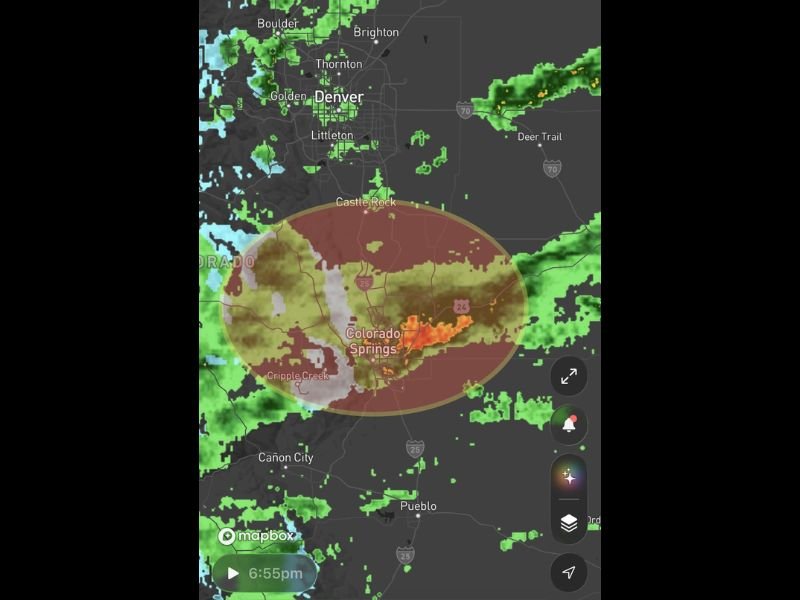
Radar imagery captured at 6:55 PM showed active and intense precipitation cores centered directly over the Colorado Springs area, with a defined storm probability zone outlined across the Castle Rock, Colorado Springs, and Cripple Creek corridor indicating where snow accumulation potential was highest through the overnight hours.
Teller County and Surrounding Areas Face Best Snow Chances
The highest probability for meaningful snowfall accumulation was identified across Teller County, northern El Paso County, and southern Douglas County, placing communities including Cripple Creek, Castle Rock, and the elevated terrain surrounding Colorado Springs within the primary zone of overnight snow potential.
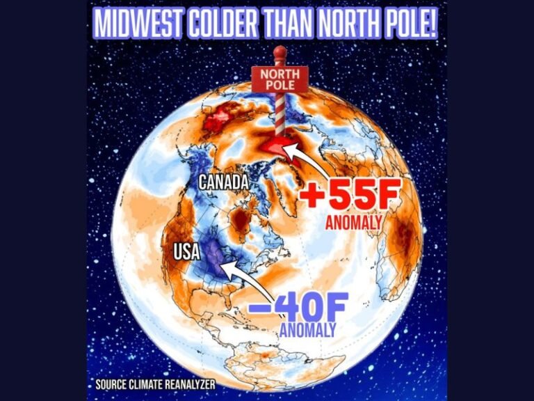
The sneaky nature of the accumulation event reflected the late-season timing and the somewhat subtle setup that made the snowfall possible despite temperatures that had been running above average across portions of Colorado heading into the overnight period.
Active Radar Returns Over Colorado Springs Corridor
Radar imagery showed intense precipitation signatures concentrated directly over Colorado Springs and the surrounding corridor at 6:55 PM, with the storm activity centered within the highlighted probability zone stretching from Castle Rock in the north through Colorado Springs and toward Cripple Creek in the southwest.
The defined oval-shaped probability zone on radar encompassed the heart of the El Paso and Teller County region, confirming the localized and targeted nature of the overnight precipitation threat rather than a widespread regional snow event affecting the broader Front Range.
Denver Metro Area Sees Different Precipitation Type
While the Colorado Springs corridor faced the overnight snow accumulation potential, the Denver metro area further north including Boulder, Thornton, Golden, and Littleton showed a different precipitation picture on radar. Light rain and mixed precipitation signatures were visible across the northern Front Range communities, consistent with warmer surface temperatures at lower elevations that typically limit snow accumulation potential across the Denver metro compared to the more elevated terrain further south.
Residents across Teller County, northern El Paso County, and southern Douglas County were advised to monitor conditions through the overnight hours and prepare for potentially slippery road surfaces and light accumulations by Thursday morning. For continuing coverage of weather events and critical storm analysis across the United States, visit SaludaStandard-Sentinel.com.