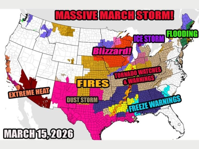
Severe Storm Line With Tornado, Large Hail and Flood Risk Slowly Closing In on Northern Indiana Overnight Targeting South Bend, Gary, and Fort Wayne Through 5 AM
NORTHERN INDIANA — A line of severe thunderstorms with a documented history of producing tornadoes and damaging hail is slowly approaching Indiana from the west Friday night, with forecasters identifying northern Indiana and especially northwest Indiana as the greatest area of concern for the overnight event. The storm system is expected to arrive between 11 PM and 5 AM, making this a dangerous nocturnal severe weather event that could easily catch sleeping residents off guard across the region.
While the storm line is expected to weaken somewhat as it continues its eastward trek, forecasters warned that damaging wind gusts, large hail, spin-up style tornadoes, torrential rain, and localized flooding all remain on the table as possible hazards for communities across the northern Indiana corridor.
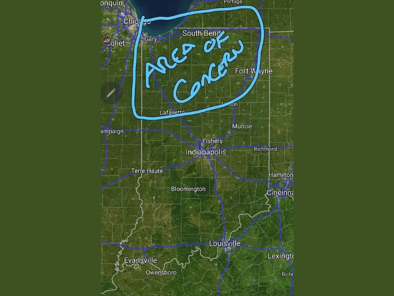
Northwest Indiana Identified as Greatest Concern
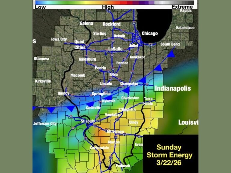
The area outlined as the primary zone of concern covers a broad swath of northern Indiana stretching from the Chicago suburbs and Gary eastward through South Bend and Fort Wayne, with Lafayette marking the southern edge of the most concerning zone. This corridor encompasses some of Indiana’s most densely populated communities outside of Indianapolis, placing a significant number of residents directly in the path of the approaching storm system.
Forecasters specifically called out northwest Indiana as the location expected to feel the brunt of the system, given its position as the first area in the state the storm line will encounter as it pushes eastward from Illinois overnight.
Spin-Up Tornadoes and Damaging Winds Possible
Despite the expectation that the storm line will weaken before reaching Indiana, the threat of spin-up style tornadoes remains a genuine concern throughout the overnight hours. Spin-up tornadoes embedded within squall lines are particularly dangerous because they develop rapidly, last briefly, and can be extremely difficult to detect on radar with enough lead time to issue effective warnings.
Damaging wind gusts and large hail accompanying the storm line pose additional threats to communities across northern Indiana, with localized flooding also possible in areas that receive the heaviest rainfall during the overnight event.
Nocturnal Threat Demands Immediate Preparation
Forecasters placed special emphasis on the nocturnal nature of this event, urging all residents across northern Indiana to have multiple reliable ways to receive weather warnings active before going to sleep Friday night. A weather radio with battery backup is strongly recommended, as smartphone alerts alone may not be sufficient to wake residents during the overnight hours.
Anyone in South Bend, Gary, Fort Wayne, Lafayette, and surrounding northern Indiana communities should not go to sleep without ensuring their alert systems are functioning and capable of waking them if warnings are issued during the 11 PM to 5 AM threat window.
Are you in northern Indiana preparing for tonight’s overnight storm threat? Stay alert and follow our continuing updates at SaludaStandard-Sentinel.com.