Strong Tornadoes Large Hail and Damaging Winds Threatening Minnesota and South Dakota Wednesday as Major Severe Outbreak Targets Minneapolis and Sioux Falls
MINNEAPOLIS, MN — A significant severe weather outbreak is taking shape for Wednesday, June 10, with meteorologists expressing growing concern over a highly favorable atmospheric setup capable of producing strong tornadoes, very large hail, and widespread damaging winds across a large portion of the Upper Midwest.
What the Outlook Shows
Severe probability data updated Sunday morning at 4:49 a.m. ET places Minneapolis, Rochester, and Sioux Falls inside a 30% severe weather probability zone — the highest-tier area on the current outlook. This level of probability reflects a well-organized threat with multiple storm modes expected, including discrete supercells and bowing line segments capable of producing all hazard types simultaneously.
The broader 15% probability zone extends well beyond the core, encompassing Fargo to the north and stretching south through Des Moines, Omaha, and Kansas City, with the eastern fringe reaching Milwaukee, Chicago, and St. Louis.
Threats Expected
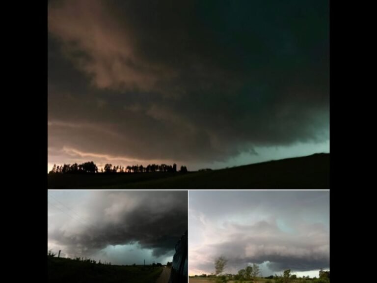
The atmospheric environment forecast for Wednesday is described as very favorable for supercell development. Supercells are the storm type most capable of producing significant tornadoes and extremely large hail.
Bowing segments — fast-moving, bow-shaped squall lines — are also anticipated, which are the primary driver of widespread damaging wind events covering hundreds of miles in a single sweep. All three major severe weather hazards are simultaneously on the table for the core risk area.
States in the Crosshairs
Minnesota and South Dakota face the highest risk heading into Wednesday, with the Minneapolis and Sioux Falls metro areas sitting directly inside the 30% probability bull’s-eye. Iowa, Wisconsin, Illinois, Missouri, Nebraska, and North Dakota all fall within the broader elevated risk zone and should not take this outlook lightly.
Residents across all of these states should begin preparing now, as the setup continues to be refined with each model run through midweek.
How to Prepare
Anyone in the risk zone should identify a sturdy interior shelter on the lowest floor of their home or building, review National Weather Service forecasts daily through Wednesday, and ensure weather alerts are active on all mobile devices.
Do not wait for warnings to take action — supercell environments can produce tornadoes with very little lead time. For continuing coverage of this developing severe weather outbreak and storm analysis across the United States, visit SaludaStandard-Sentinel.com.