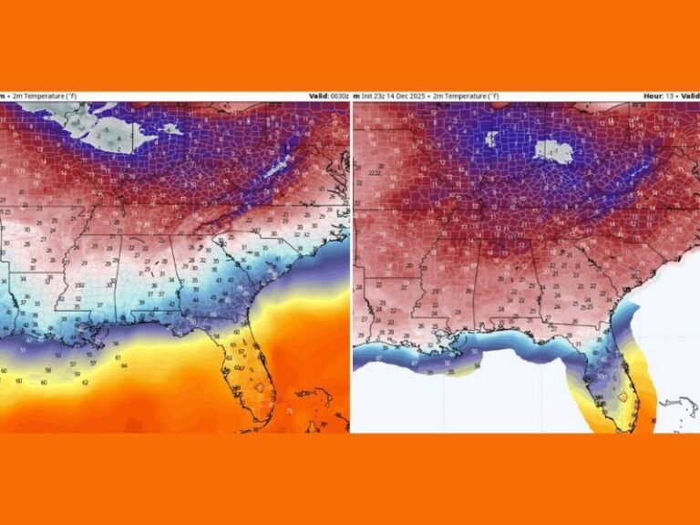
Severe Weather Outbreak Targeting Wisconsin and Iowa Wednesday Night With Tornadoes Destructive Hail and Damaging Winds Threatening Millions Across the Upper Midwest
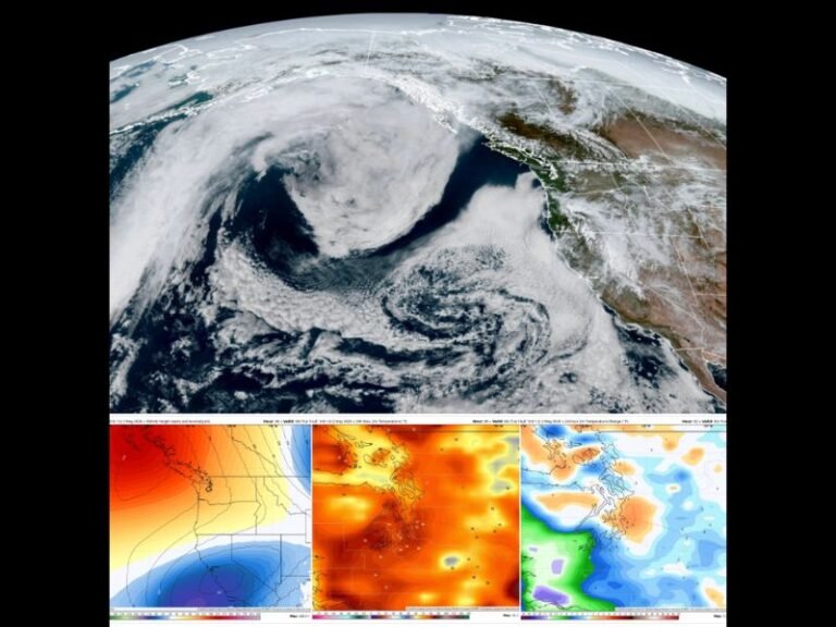
MADISON, WI — A significant severe weather outbreak is becoming increasingly likely Wednesday afternoon through Wednesday night across portions of Wisconsin, Minnesota, Iowa, and Illinois, with forecasters warning of multiple hazards developing simultaneously as storm clusters organize and intensify through the evening hours.
What to Expect Wednesday Afternoon
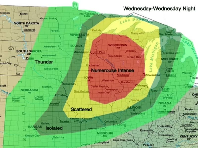
Initial storm development during the afternoon hours will pose the greatest risk for strong tornadoes and destructive hail. Discrete supercells forming ahead of the main convective line are the primary concern during this window, as they will have access to an unstable airmass before storms begin merging into a larger complex later in the evening.
The core risk area — labeled as supporting numerous intense storms — encompasses southern Wisconsin, northern Iowa, and northern Illinois, with Madison, Eau Claire, Green Bay, Waterloo, and Rockford all falling within the highest-threat zone.
How the Threat Evolves Overnight
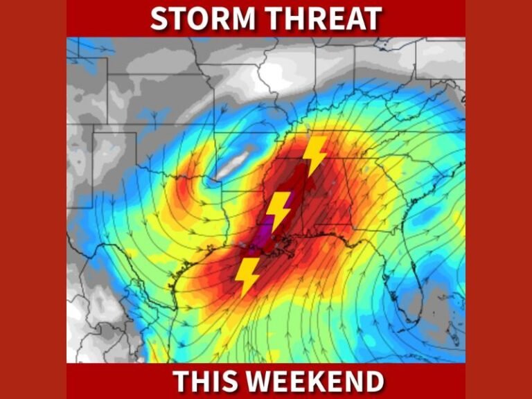
As the afternoon progresses into evening, storms are expected to grow upscale rapidly into a fast-moving mesoscale convective system. This transition introduces a new and expanding threat — widespread damaging wind gusts extending well beyond the initial supercell corridor.
Confidence is increasing that a large area will experience significant damaging winds continuing deep into the overnight hours, which dramatically raises the danger for residents who may be asleep and unaware of approaching storms. Embedded tornadoes within the squall line remain possible even after dark.
States and Cities Most at Risk
Wisconsin and Iowa carry the highest risk for Wednesday’s event, sitting inside the numerous intense storm designation on the outlook. Minnesota including the Minneapolis and St. Paul metro area falls within the next tier, along with much of northern Illinois including the Chicago suburbs.
Scattered storm coverage extends into Missouri, Nebraska, and Indiana, while isolated activity is possible as far south as Kansas. No state within the broader outlook zone should dismiss this event.
How to Stay Safe
Residents across Wisconsin, Iowa, Minnesota, and Illinois must have multiple ways to receive warnings Wednesday — a weather radio, phone alerts, and a reliable forecast app are all recommended. Identify your shelter location before storms arrive and do not wait for a tornado warning to take cover if you hear strong rotation approaching.
For continuing coverage of this developing severe weather outbreak across the United States, visit SaludaStandard-Sentinel.com.