July-Like Heat Surging to 90s and 95 Degrees Across the Southeast From May 13 to 16 as Large High Pressure Dome Builds Into the Region Bringing Summer Conditions Weeks Early
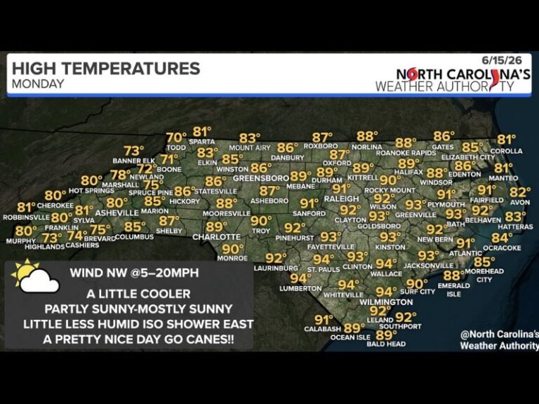
SOUTHEASTERN UNITED STATES — A large dome of high pressure is set to build into the Southeast beginning this weekend and intensifying through May 13 to 16, driving temperatures into the 90s across the Deep South, pushing 92 to 95 degrees across Florida, and delivering near 90 degree readings across the Carolinas and Mid-Atlantic in what forecasters are describing as a full preview of July-like summer heat arriving weeks ahead of schedule.
July-Like Heat Dome Building Into the Southeast
European Centre for Medium-Range Weather Forecasts model data clearly depicts an expansive and intense heat signature blanketing the entire southeastern United States during the May 13 to 16 period, with temperature readings in the low to mid 90s dominating the Gulf Coast states and Deep South simultaneously. The heat dome building into the region will trap warm air across a broad geographic footprint, suppressing cloud cover and allowing daytime temperatures to surge well above seasonal norms across multiple states at once.
The intensity of this heat signal for mid-May is particularly notable, as these temperature readings are more typically associated with the peak of summer in late June and July rather than the second week of May.
92 to 95 Degrees Expected Across Florida
The most extreme heat readings during the May 13 to 16 period are concentrated across Florida, where temperatures are forecast to reach 92 to 95 degrees across much of the peninsula. Combined with Florida’s characteristic humidity levels even during the drier spring season, heat index values across the state could push conditions into the dangerously uncomfortable range for extended outdoor exposure during afternoon peak heating hours.
Residents across Florida are urged to limit outdoor activity during peak afternoon hours and stay well hydrated throughout the heat event.
Scattered Thunderstorms Possible on Ridge Edges
While areas directly beneath the core of the high pressure dome will remain hot and dry through the period, communities positioned closer to the outer edges of the ridge could experience scattered afternoon thunderstorm development from time to time. The exact placement of the ridge boundary remains subject to forecast refinement, meaning some areas currently expecting dry conditions could see isolated storm activity during the May 13 to 16 window.
Residents across the Southeast should monitor updated forecasts daily as the high pressure dome establishes itself and the precise dry versus storm boundary becomes clearer through the coming days.
For continuing coverage of severe weather events and critical storm analysis across the United States, visit SaludaStandard-Sentinel.com.