Kansas City Weather: Morning Scattered Showers Clear Before Heat Builds Into 90s
KANSAS CITY, Mo. — A wet start to the week will quickly give way to rising heat, with temperatures set to climb into the 90s by the weekend across Kansas City and much of northwest Missouri.
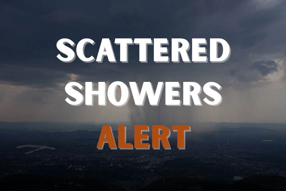
Showers Move Out Tuesday
The National Weather Service in Kansas City reported that early Tuesday brought half an inch of rain in spots, along with brief downpours and small hail in far northwest Missouri. The scattered activity will taper off by midday, with skies turning dry and clear through the afternoon.
Drivers are advised to watch for slick roads before conditions improve later in the day.
Heat Builds Into the Weekend
After starting the week in the 70s, daytime highs will rise steadily, reaching the upper 80s by Wednesday and low 90s by Thursday. Communities south of Interstate 70, such as Boonville and Sedalia, may push into the mid-90s by Saturday.
Overnight lows will stay mild, ranging from the mid-60s to low 70s, keeping evenings warm even after sunset.
Hot Stretch to Continue
Forecasters warn that the heat will linger into early next week, with above-normal highs expected through Monday. Additional advisories could be issued if heat index values climb further.
Five-Day Forecast for Kansas City
- Tuesday: Morning showers, high 78°, low 62°
- Wednesday: Sunny, high 87°, low 64°
- Thursday: Mostly sunny, high 91°, low 66°
- Friday: Hot, high 92°, low 71°
- Saturday: Sunny and hot, high 93°, low 72°
Are you preparing for outdoor activities in Kansas City this weekend despite the heat? Share your plans with us at SaludaStandard-Sentinel.com.