New York Weather Update: Capital Region Sees 1–2 Inches of Rain as Western Massachusetts Tops 3 Inches
ALBANY, N.Y. — A burst of heavy rainfall over the past two days brought much-needed precipitation to eastern New York and western New England, with totals ranging from less than half an inch in some areas to over three inches in others. The uneven distribution highlighted the region’s weather contrasts and provided some relief to areas grappling with ongoing drought.
Rainfall Totals Across the Region
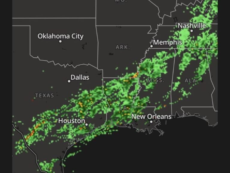
The National Weather Service in Albany reported widespread totals of 0.5 to 3 inches, with sharp variations by location.
- Hudson Valley: Poughkeepsie logged 2.15 inches, while Kingston received close to 2 inches.
- Albany County: The state capital itself recorded just under an inch, reflecting the variability of this system.
- Berkshires & Western Massachusetts: Pittsfield collected 1.22 inches, while several towns reported totals above 2 inches. Torrington, Connecticut led the region with more than 3 inches of rainfall.
- Catskills: Communities here measured 1.5 to 2.5 inches, further contributing to easing local drought.
- Glens Falls: By contrast, totals fell below 0.5 inches, underscoring the patchy nature of the storm.
Drought Relief and New Risks
The recent downpours have eased drought conditions in the Hudson Valley and Berkshires, according to forecasters. Farmers and gardeners welcomed the moisture, which will aid soil recovery after weeks of parched weather.
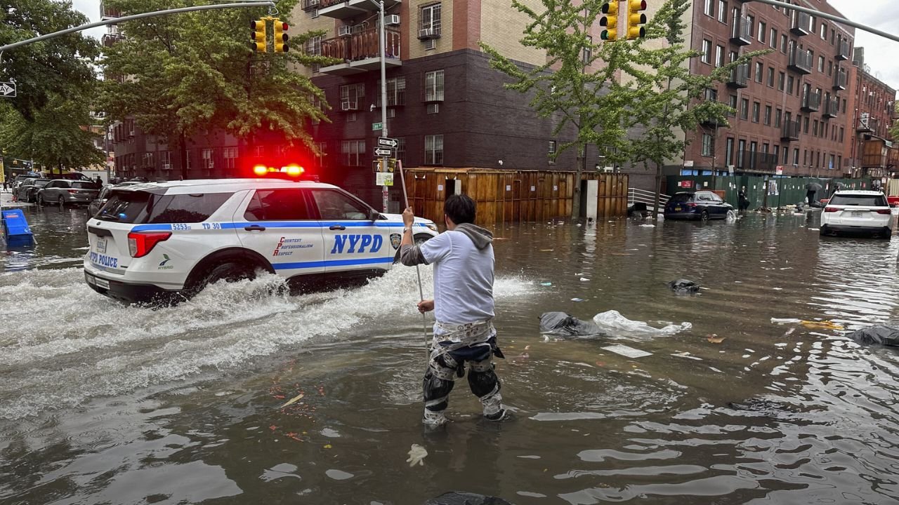
However, the sheer volume of rainfall in a short period created hazards of its own. Several communities reported ponding on poorly drained streets, raising risks for drivers. Officials urged residents to exercise caution, especially in low-lying roadways and rural routes where water lingers.
Forecast Ahead
Meteorologists say the heaviest rain has already moved east, but scattered showers remain possible through midweek. While these additional rounds of precipitation are unlikely to bring totals comparable to this past system, forecasters will continue monitoring streams and small rivers for potential flooding.
The broader pattern indicates a return to seasonal conditions, with highs in the 70s and occasional afternoon showers. For now, the focus remains on localized impacts — from road safety to agricultural benefits.
Community Impact
Residents across eastern New York and western New England saw both relief and inconvenience from this rain event. While the rainfall is a positive development for easing drought stress, it also highlights the importance of infrastructure capable of handling sudden downpours.
Local emergency officials remind drivers to “turn around, don’t drown” when encountering flooded roads — a message that has become increasingly relevant as weather extremes bring sudden, high-volume rainfall to the region.
With the storm system moving east, New York and Massachusetts can expect more stable weather in the coming days, punctuated by light showers. Still, the event serves as a reminder of how quickly rainfall extremes can swing from drought relief to short-term flooding risks.
Were you in Albany, the Hudson Valley, or western Massachusetts during this rain event? Did you experience flooding or much-needed drought relief? Share your updates with us in the comments on SaludaStandard-Sentinel.com.