Morning Storms Fade Quickly Across Alabama Tuesday as Upper Ridge Builds Toward Hottest Weekend of the Summer With Highs Reaching the Low to Mid 90s
BIRMINGHAM, AL — Scattered showers and thunderstorms across the southern half of Alabama early Tuesday morning are expected to fade quickly after sunrise, giving way to a largely dry day before an upper ridge begins building across the eastern United States through the latter half of the week, sending temperatures surging toward the hottest weekend of the summer so far across the state.
Early Morning Storms Exit After Sunrise
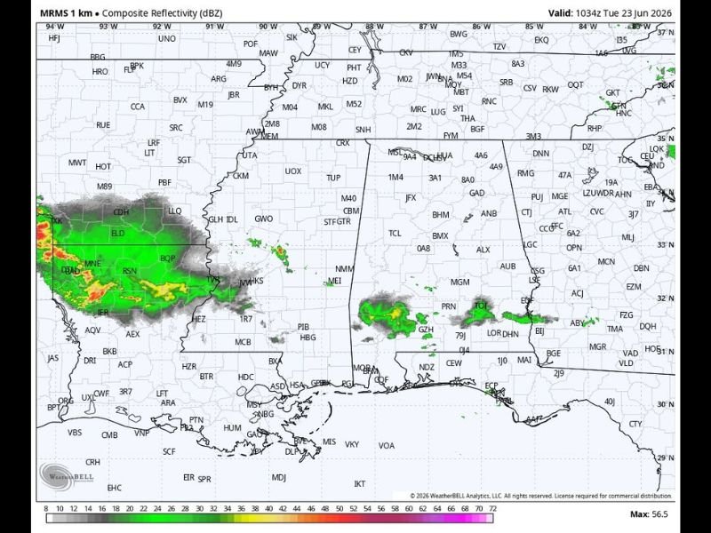
A few scattered showers and thunderstorms were present across the southern half of Alabama early Tuesday, but forecasters expect this activity to dissipate rapidly once sunrise heating burns off the overnight instability. A decent portion of the state will remain dry through much of the day, offering a relatively quiet Tuesday compared to the active severe weather pattern seen in recent days.
Scattered storms are expected to reform during the afternoon hours, but coverage will be limited mainly to the southwest corner of the state rather than spreading statewide.
Afternoon Highs Climb from the Mid 80s to Low 90s
Tuesday afternoon highs will range from the mid 80s across North Alabama to the low 90s across the southern counties, reflecting the typical north-to-south temperature gradient during early summer across the state. Humidity levels will keep conditions feeling uncomfortable across much of Alabama through the afternoon hours.
Wednesday brings a chance of an organized batch of showers and storms entering the western counties late in the day, though this activity is expected to weaken quickly after sunset and fade before reaching the eastern half of the state.
Heat Builds Significantly Through the Weekend
The pattern shifts decidedly hotter heading toward the weekend, as an upper ridge builds across the eastern half of the country and suppresses storm chances while driving temperatures higher. Highs are forecast to reach at or above 90 degrees statewide by Friday, with the weekend of June 28 and 29 expected to be the hottest of the summer so far.
Saturday and Sunday highs are projected in the low to mid 90s across Alabama, with only a small isolated afternoon shower chance for any individual community during the weekend period.
Hot and Dry Pattern Extends Into Next Week
The upper ridge is expected to remain in place into next week, keeping Alabama mostly dry with only isolated afternoon showers and highs continuing in the low to mid 90s through the July 4th holiday period.
For continuing coverage of heat forecasts and weather conditions across the United States, visit SaludaStandard-Sentinel.com.