More Storms Possible Wednesday and Thursday Across Alabama Before Dangerous Heat Index Values Reaching 102 Degrees Arrive This Weekend
BIRMINGHAM, AL — Alabama is entering the final stretch of an unusually active June weather pattern, with scattered storms still possible Wednesday and Thursday before a strong upper-level ridge builds in for the weekend, sending heat index values soaring toward 102 degrees Saturday and potentially triggering the first heat advisories of the season next week.
Tuesday Brings a Much Quieter Day
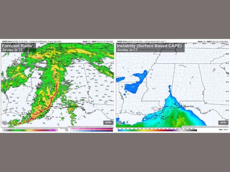
After significant flooding over the weekend and multiple tornado warnings across North Alabama Monday, Tuesday offers a welcome break from the active pattern. A mix of clouds and sunshine is expected statewide, with only a 20 percent chance of a pop-up shower or storm. Most areas will remain dry through the day, with afternoon highs climbing into the middle 80s.
Wednesday and Thursday Storm Chances Continue
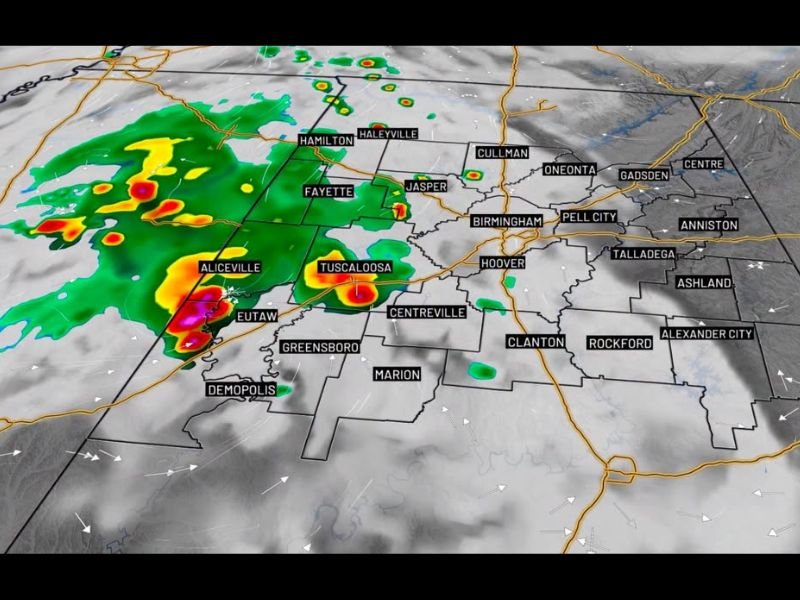
The relative quiet of Tuesday gives way to a return of scattered shower and storm chances Wednesday and Thursday, as daytime heating fuels afternoon storm development ahead of the drier pattern. Wednesday’s greatest storm coverage is expected across western Alabama, with forecast radar showing activity developing near Hamilton, Fayette, Tuscaloosa, and Aliceville by midday before spreading southward toward Eutaw and Greensboro through the afternoon.
Some storm activity could linger into Wednesday night before Thursday brings another round of scattered storms statewide. Rain chances then trend significantly lower by Friday as the pattern begins transitioning toward the weekend heat.
Dangerous Heat Builds This Weekend
A powerful upper-level ridge is forecast to build across the region beginning Saturday, ushering in a stretch of partly sunny days with highs climbing into the 90s. Future heat index projections show feels-like temperatures reaching 93 degrees Tuesday and Wednesday before surging to 98 degrees Thursday, then hitting a dangerous 102 degrees on both Friday and Saturday.
First Heat Advisories of the Season Possible Next Week
The heat continues intensifying into next week, with some locations expected to reach the mid-90s and heat index values potentially approaching 105 degrees. Forecasters noted this pattern could trigger the first heat advisories of the 2026 season across Alabama, making it critical for residents to stay hydrated and limit outdoor exposure during peak afternoon heating hours.
For continuing coverage of heat events and severe weather impacts across the United States, visit SaludaStandard-Sentinel.com.