Golf Ball Hail and 75 MPH Wind Gusts Threaten Oklahoma Tuesday From Northwest to Southeast With Severe Storms Possible From 7 AM Through 10 PM
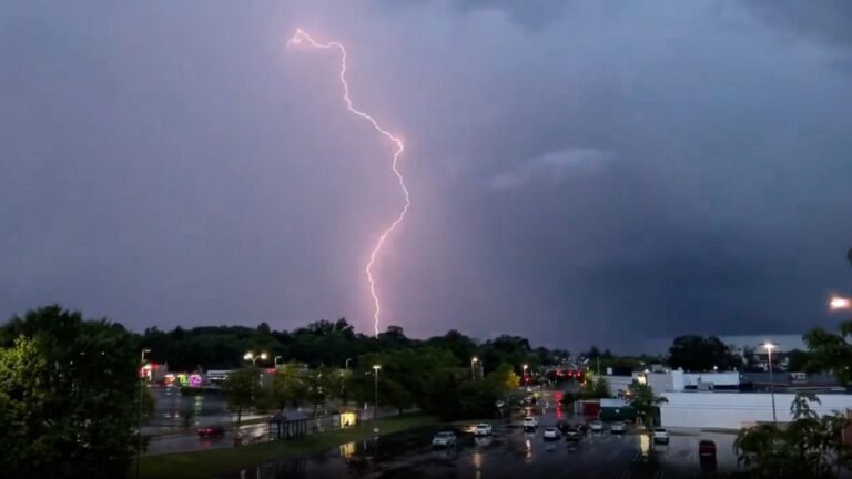
OKLAHOMA CITY, OK — A significant severe thunderstorm event is unfolding across Oklahoma Tuesday, with damaging wind gusts between 60 and 75 mph and hail up to golf ball size possible with the most intense storms as the severe weather risk spreads southeast from northwest Oklahoma beginning at 7 AM and lasting through 10 PM.
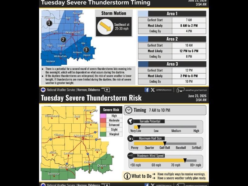
Three Zones Face Staggered Storm Timing
Forecasters have divided the state into three distinct impact areas with staggered timing as the storm complex tracks southeast at 25 to 30 mph throughout the day. Area 1, covering northwest Oklahoma including Woodward, Enid, and Stillwater, faces the earliest threat with storms possible starting as early as 7 AM and the most likely window running from 8 AM to 2 PM, with activity ending by 4 PM.
Area 2, covering the central portion of the state including Oklahoma City, Clinton, and Lawton, sees storms arriving by 10 AM with the peak window from 12 PM to 6 PM and activity ending around 8 PM. Area 3 in southern Oklahoma near Ardmore, Durant, and Wichita Falls faces the latest timing with storms developing by noon and the most likely window running 2 PM to 8 PM through 10 PM.
Golf Ball Hail and Damaging Winds Are the Primary Threats
The severe weather risk graphic identifies maximum hail size approaching golf ball diameter and maximum wind speeds reaching 70 mph as the primary hazards across the Slight Risk zone covering much of central and northern Oklahoma. The broader Marginal Risk extends across the southern tier of the state through the Ardmore and Durant corridor.
Tornado potential is assessed as low but not zero, meaning brief spin-up tornadoes cannot be entirely ruled out with the strongest storm cells as the complex moves through the state.
Second Round of Storms Possible Overnight
A potential second round of severe thunderstorms was identified for late evening into the overnight hours, with the severity of the nighttime threat inversely linked to how active the daytime storms are. If daytime thunderstorms are widespread and consume available instability, the overnight risk diminishes. If daytime activity remains limited, the overnight severe weather risk increases significantly across the affected region.
For continuing coverage of severe weather events and storm impacts across the United States, visit SaludaStandard-Sentinel.com.