Deadly Supercell Tracks Across North Texas for Nearly 11 Hours Dropping Strong Tornadoes, Baseball Size Hail, 100 MPH Winds and Dangerous Flooding Before Finally Coming to an End
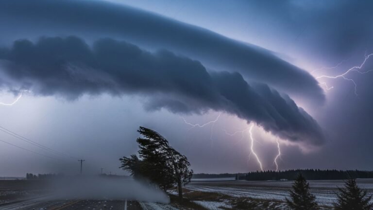
NORTH TEXAS — A deadly and relentless supercell thunderstorm that carved a destructive path across North Texas for nearly 11 hours has finally come to an end. The storm dropped numerous strong tornadoes, copious amounts of baseball size hail, winds reaching 100 miles per hour, and dangerous flooding across the region before its radar signature finally collapsed east of the Dallas-Fort Worth metroplex near the Terrell corridor. For those who tracked it from beginning to end, the sentiment was simple — good riddance.
A Storm That Refused to Die
Eleven hours is an extraordinarily long lifespan for a supercell of this intensity. Most discrete supercells last a few hours at most before weakening or merging with other storm complexes. This particular storm maintained its deadly organization and continued producing hazardous weather across a long and destructive track through North Texas, making it one of the more remarkable and dangerous storm events the region has seen.
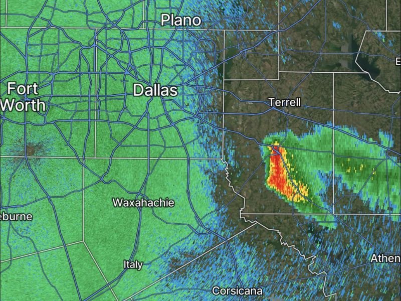
The storm’s final radar position showed it pushing east of Dallas toward the Terrell area, with the most intense core still showing significant returns before eventually winding down.
Everything It Produced Along the Way
The list of hazards this supercell generated over its 11-hour life is extensive. Numerous strong tornadoes touched down at various points along its track, threatening communities across the North Texas region. Baseball size hail fell in copious amounts, leaving widespread damage to vehicles, rooftops, and property wherever the storm passed.
Winds reaching 100 miles per hour accompanied the most intense phases of the storm, and dangerous flooding developed as the system produced heavy rainfall across areas already dealing with other severe weather impacts throughout the day.
What Comes Next for Affected Areas
With the storm finally ending, affected communities across North Texas now face the task of assessing damage and beginning recovery. Residents in areas along the storm’s track are urged to document all damage thoroughly before cleanup begins, and to avoid downed power lines and flooded roadways until conditions are confirmed safe by local authorities.
Insurance claims should be filed promptly, and local contractors and services should be trusted over out-of-state companies that often move into storm-damaged areas following major events. Share your storm reports, damage photos, and firsthand accounts from across North Texas at SaludaStandard-Sentinel.com.