Alabama Temperatures Soar Near Record 90 Degrees Friday Before Cold Front Brings Weekend Showers and Cooler Sunday Ahead
ALABAMA — Temperatures are rising back into the 80s across Alabama Thursday under partly sunny skies, serving as a warm-up to an even hotter Friday that could approach record levels for mid-April. A cold front arriving Saturday night will then bring a dramatic shift to the weekend, delivering showers and thunderstorms before much cooler temperatures settle in for Sunday across the state.
A few small isolated showers remain possible over the northern third of Alabama Thursday afternoon and early evening, but the vast majority of the state will stay dry as the bigger weather stories are still ahead.
Near Record Heat Expected Friday
Friday will feel like a summer preview across Alabama as temperatures push toward the 90 degree mark — close to record levels for mid-April. Forecast data showed Birmingham reaching a high of 89 degrees Friday, making it one of the hottest days of the year so far for the region.
Residents should prepare for intense heat and direct sunshine for most of Friday, with only a minimal shower chance remaining across far northern Alabama. Those with outdoor plans Friday should stay hydrated, limit prolonged sun exposure during peak afternoon hours, and take precautions against heat-related illness.
Weekend Cold Front Brings Showers Saturday Night
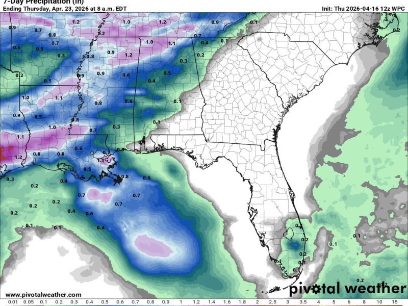
Saturday will start warm and dry with highs in the 80s, giving residents one more pleasant day before the cold front arrives. Showers and a few thunderstorms will push into the state Saturday night into Sunday morning, with no severe storms expected given weak dynamic support and limited atmospheric instability.
Rainfall amounts have been revised upward across the Tennessee Valley, where a few spots could pick up close to one inch of rain. Amounts will be lighter further south, and many Southeast Alabama communities may see little to no rainfall at all as showers fizzle before reaching them.
Cooler Sunday and Pleasant Week Ahead
Sunday will feel noticeably cooler behind the frontal passage, with highs only reaching the mid to upper 60s across the northern half of the state and low to mid 70s across southern counties. Forecast data showed lows dropping to 45 degrees Sunday morning before gradually moderating through the new week.
The first half of next week looks dry and pleasant with comfortable temperatures, though global models are signaling a potential return of showers and storms by Friday and Saturday, April 24 and 25.
Are you enjoying Alabama’s warm spring stretch before the weekend cooldown arrives? Share your thoughts and stay updated at SaludaStandard-Sentinel.com.