Damaging Winds Up to 75 MPH and Large Hail Threaten North Texas and Southern Oklahoma as Potential Severe Watch Looms for DFW Metroplex This Evening Into Overnight Hours
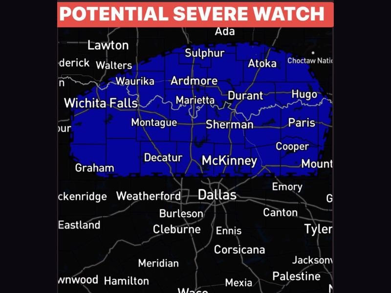
DALLAS, TX — A Potential Severe Thunderstorm Watch is being monitored for portions of North Texas and Southern Oklahoma as storms push southward out of Oklahoma toward the Dallas-Fort Worth Metroplex this evening, carrying primary threats of damaging straight-line winds reaching 60 to 75 miles per hour or greater, large hail, frequent lightning, heavy downpours, and isolated power outages through the overnight hours.
Storms Tracking South From Oklahoma Toward DFW
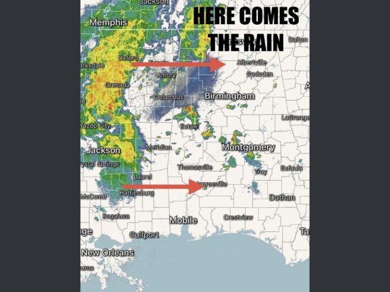
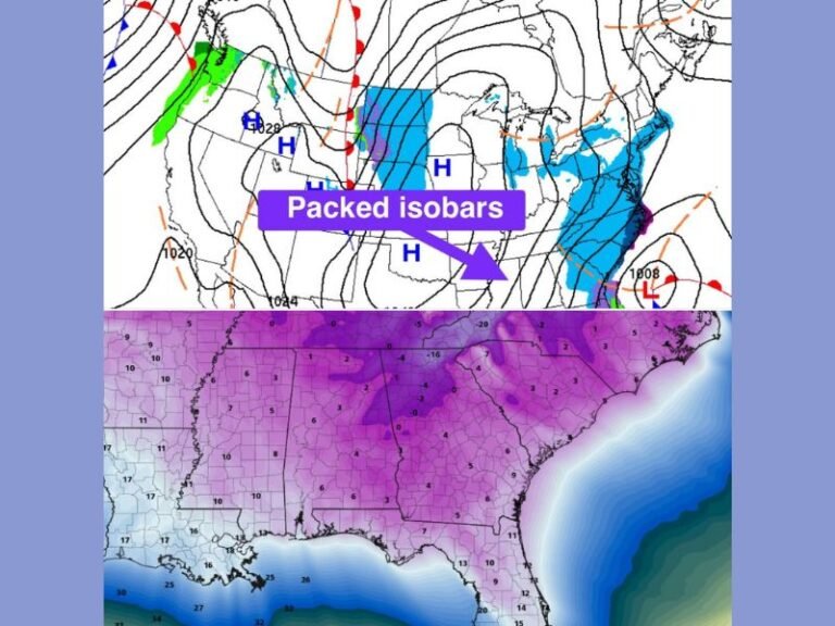
Storms are expected to move southward out of Oklahoma into North Texas this evening, with the greatest initial concern concentrated near and north of the DFW Metroplex along the outflow boundary. The storm line is forecast to organize as it pushes southward, shifting the primary threat away from hail and increasingly toward damaging straight-line winds as the system consolidates and advances through the region during the evening and overnight period.
New storm development north of DFW along the outflow boundary is also being closely monitored, as the atmosphere retains significant instability above the surface capable of rapidly intensifying any developing cells into severe thunderstorms with little advance warning for communities in the affected zone.
Primary Threats Include 75 MPH Winds and Large Hail
The most significant hazards associated with this evening’s storm system include damaging wind gusts reaching 60 to 75 miles per hour and beyond, which carry the potential to down trees, damage structures, and cause widespread power outages across the warned corridor. Large hail remains possible particularly with discrete storm cells ahead of the organizing line, while frequent lightning and heavy downpours will accompany the strongest storms moving through the DFW area and surrounding North Texas communities.
Isolated power outages and tree damage are considered likely outcomes across communities that experience the most intense storm cells during the evening and overnight timeframe.
Severe Thunderstorm Watch Could Be Issued Tonight
Forecasters are explicitly watching for the potential issuance of a Severe Thunderstorm Watch for parts of North Texas this evening into the overnight hours as storm coverage and intensity develop. Communities across the watch zone including Wichita Falls, Sherman, McKinney, Decatur, and the broader DFW northern suburbs should remain alert to any watch or warning upgrades issued by the National Weather Service as conditions evolve rapidly through the night.
For continuing coverage of severe weather events and critical storm analysis across the United States, visit SaludaStandard-Sentinel.com.