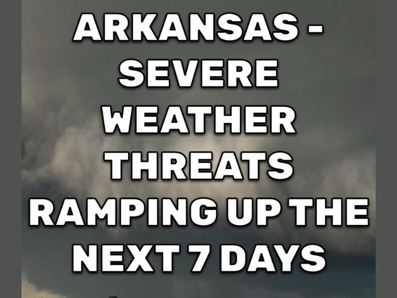
Severe Weather Season Kicks Into High Gear Across Arkansas With Four Days of Storm Threats From Friday Through Monday Including Isolated Supercells and Strong Severe Weather Risk
ARKANSAS — After a relatively quiet severe weather season, Arkansas is about to experience a significant and extended period of storm activity over the next seven days. Forecasters are tracking severe weather risk across the state on Friday, Saturday, Sunday, and Monday, with a brief break expected Tuesday and Wednesday before a renewed threat arrives later next week.
Friday is being highlighted as the best day for widespread storm coverage, with the potential for morning storms followed by additional rounds during the mid to late afternoon and evening hours across the state.
Friday Brings the Best Chance for Widespread Storms
Friday stands out as the most significant day of the multi-day severe weather stretch for Arkansas. Forecasters indicate that multiple rounds of storms are possible throughout the day, beginning in the morning and continuing through the afternoon and evening hours.
This makes Friday the day with the highest potential for widespread storm coverage across the state. Residents should monitor updated forecasts closely throughout the day and be prepared for rapidly changing conditions.
Saturday and Sunday Threat Extends From Oklahoma and Texas
On Saturday, storms are expected to develop across Oklahoma, Texas, and Kansas during the afternoon and evening hours. Some of this activity could survive and push into western Arkansas Saturday night, bringing strong storm potential to that portion of the state.
Sunday brings the possibility of isolated storm development, particularly across western Arkansas during the afternoon and evening. Forecasters note that severe weather risk will exist for any storm that can form and mature during this window, making the isolated nature of Sunday’s storms particularly dangerous for communities that do fall under their path.
Monday Could Be the Most Dangerous Day for Eastern Arkansas
Monday is being flagged as a potentially significant severe weather day, with forecasters specifically calling out the eastern half of Arkansas as the primary area of concern. While full details on Monday’s threat are still being developed, the early signals are serious enough that residents across eastern Arkansas are being urged to pay close attention to updated forecasts as the day approaches.
The pattern shift driving this entire multi-day event represents a notable change for Arkansas, which has seen only a few isolated severe weather instances through most of the spring season up to this point.
How Residents Should Prepare for the Week Ahead
With four consecutive days of severe weather risk on the horizon, forecasters are urging Arkansas residents to review their severe weather safety plans now rather than waiting. Identifying a safe shelter location, ensuring weather alert devices are functioning, and staying connected to daily forecast updates will be critical throughout the week.
The isolated nature of many of the expected storm days means some communities will see significant severe weather while nearby areas see nothing at all. Staying informed on a day-by-day basis will be essential for all residents across the state.
Are you preparing for the extended severe weather threat across Arkansas this week? Share your plans and stay informed with the latest coverage at SaludaStandard-Sentinel.com.