Texas, Oklahoma, Kansas, Missouri, Illinois, and Iowa Face Multi-Day Severe Weather Threat From Saturday Through Wednesday With Peak Risk Monday and Tuesday
UNITED STATES — A prolonged and potentially dangerous severe weather pattern is expected to unfold across the central United States starting Saturday and continuing through Wednesday. Forecasters warn that multiple rounds of storms could bring hazards including tornadoes, large hail, and damaging winds.
The most intense period is expected between Monday and Tuesday, though each day carries its own risks across different regions.
Severe Weather Threat Begins Saturday in Texas Panhandle Region
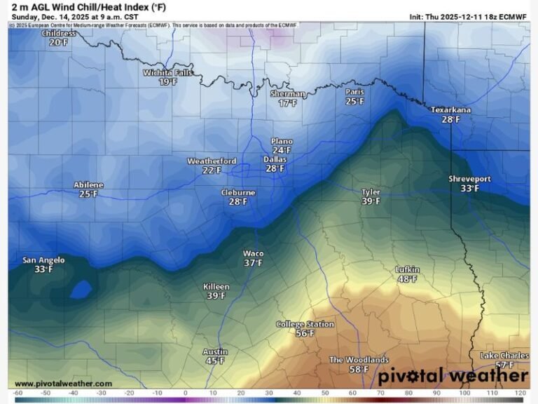
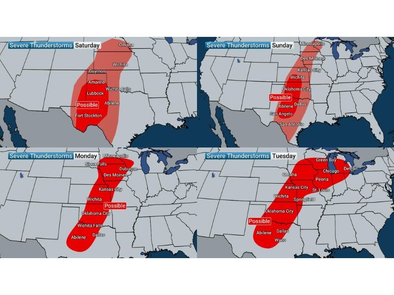
The first round of storm activity is expected to develop Saturday, primarily impacting parts of Texas including areas near Amarillo, Lubbock, and Wichita Falls.
This early phase will set the stage for the broader multi-day event, with storms potentially producing hail and gusty winds. While not expected to be the most intense day, conditions could still support severe weather in localized areas. Residents in western Texas should begin monitoring conditions closely.
Sunday Expands Risk Across Oklahoma and Kansas
By Sunday, the severe weather threat is expected to expand northward into Oklahoma and Kansas. Cities such as Oklahoma City, Wichita, and Kansas City fall within the highlighted risk zone.
Storms may become more organized compared to Saturday, increasing the potential for stronger impacts. The system will continue to shift and evolve as it moves eastward.
Peak Severe Threat Expected Monday and Tuesday
The most concerning period arrives Monday and Tuesday, when the severe weather risk intensifies and spreads across a larger portion of the Midwest.
States including Missouri, Illinois, and Iowa are expected to be in the path of stronger storms, with cities like St. Louis, Springfield, Peoria, and Chicago potentially affected.
Forecasters warn that these days could bring the highest chances for tornadoes, large hail, and damaging winds, making it critical for residents to stay alert.
Wednesday Continues Risk as System Moves East
Even after the peak days, the threat does not end. On Wednesday, storms are expected to continue impacting areas from Oklahoma through Missouri and into Illinois.
While intensity may vary, the continued presence of severe weather conditions increases the likelihood of repeated impacts across the same regions. This extended duration adds to the overall risk of the event.
Residents Urged to Prepare for Multi-Day Weather Event
With several days of severe weather possible, officials are urging residents across all impacted states to stay prepared. Having multiple ways to receive warnings and a clear safety plan will be essential.
The extended nature of the event means conditions could change quickly from day to day. Authorities emphasize the importance of staying weather aware and ready to act if warnings are issued.
If you are in the affected regions and preparing for this multi-day severe weather threat, share your updates and concerns with us at SaludaStandard-Sentinel.com.