Winter Clipper System to Bring 2–5 Inches of Snow Across the Midwest This Weekend — Chicago, Peoria, and Iowa in the Path
CHICAGO — The Midwest is gearing up for its first major clipper system of December, expected to sweep across the region this weekend and deliver 2 to 5 inches of accumulating snow from Nebraska through Iowa, Illinois, and southern Wisconsin.
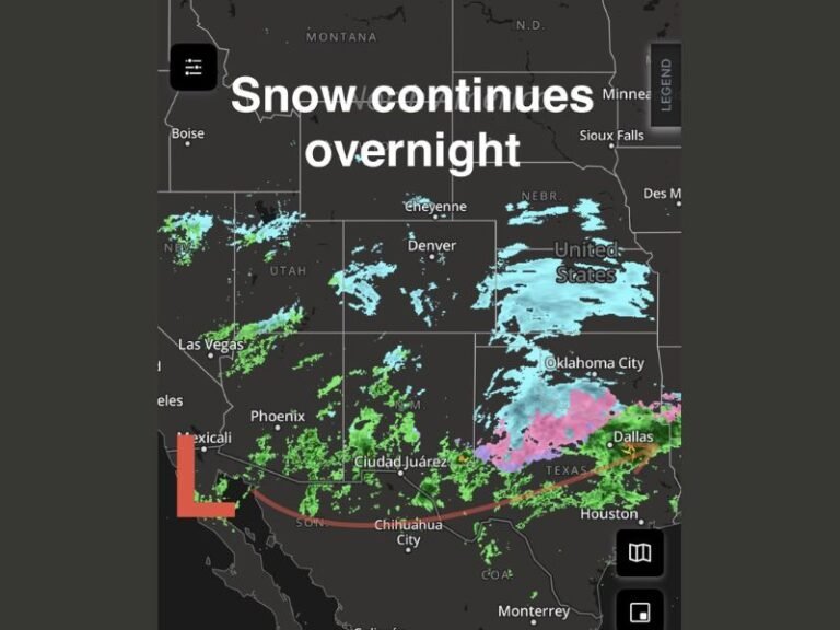
According to meteorologists, the fast-moving Alberta Clipper will slide southeast from the northern Plains late Friday night into Saturday, spreading a swath of moderate snow along its path. The storm will bring the bulk of its snowfall on Saturday, before tapering off early Sunday morning.
Snowfall Forecast and Impact Zone
Weather models indicate a clear snow corridor stretching from eastern Nebraska and western Iowa through central Illinois, potentially affecting major cities including Omaha, Des Moines, Peoria, and Chicago.
- Snowfall totals: 2–5 inches expected along the core path.
- Heaviest accumulation: Central Iowa to northern Illinois.
- Timing: Late Friday evening through Sunday morning.
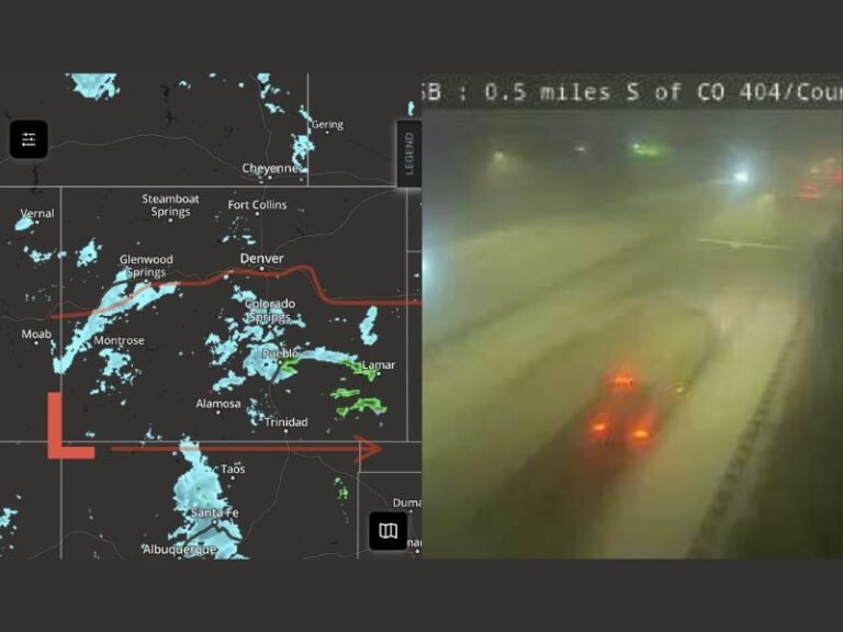
- Travel impact: Reduced visibility, slick roads, and icy patches on untreated surfaces.
Meteorologists note that clipper systems are typically compact but efficient snow producers, fueled by cold, dry air from Canada and jet stream energy that enhances precipitation along the system’s track.
“This system won’t bring blizzard conditions, but it will lay down a solid band of snow that’s enough to cause travel disruptions,” said meteorologist Adam Lucio, who first shared the weekend projection map.
Travel Advisories Likely as System Strengthens
The National Weather Service is expected to issue winter weather advisories across portions of the upper Midwest and Great Lakes as the clipper moves closer. Early model guidance suggests snow will develop in Nebraska Friday night, reach Iowa by early Saturday, and push into Illinois and southern Wisconsin by afternoon.
By Saturday evening, the heaviest snow may center near Peoria and the Chicago metro area, where road crews are preparing for potential slick conditions during evening travel.
Cold Air to Follow the Snow
Behind the clipper system, temperatures will plunge into the teens and 20s across much of the region by Sunday morning, ushering in a reinforcing wave of Arctic air that will keep highs below freezing through early next week. Wind chills could dip into the single digits across northern Illinois and southern Wisconsin.
Meteorologists say this could be the first in a series of clippers tracking across the Midwest through mid-December, signaling a more active winter pattern taking shape.
Residents are urged to monitor local forecasts for updated snowfall totals and travel advisories as the storm approaches.
For more winter weather updates and live radar coverage, visit SaludaStandard-Sentinel.com.