Upper Midwest Weather Alert: Strong Cold Front Brings Overnight Storms, Damaging Winds, and Hail Threat Across Minnesota
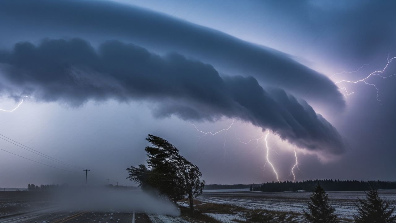
MINNEAPOLIS, Minn. — A strong cold front sweeping across Minnesota late Thursday into Friday is set to bring scattered thunderstorms, with some storms likely to become severe. The primary threats include damaging winds capable of downing power lines, large hail, and dangerous travel conditions, according to the National Weather Service in the Twin Cities.
Storm Timeline and Locations at Risk
The first wave of storms is expected to ignite Thursday evening in western Minnesota, particularly near Fergus Falls and Alexandria. As the night progresses, the storms will strengthen and push eastward toward central and eastern Minnesota.
By early Friday morning, forecasters expect storms to be impacting major population centers including:
- Twin Cities metro (Minneapolis–St. Paul)
- St. Cloud
- Rochester
This timing raises concerns for Friday’s early commute, as strong winds, hail, and lightning may coincide with morning traffic.
Hazards: Winds, Hail, and Travel Disruptions
Meteorologists emphasize that damaging straight-line winds are the most immediate threat. Gusts strong enough to snap tree limbs and topple power lines may cause outages and hazardous road conditions.
Large hail is also a possibility, posing risks to:
- Vehicles left outdoors overnight
- Crops nearing late-summer maturity
- Roofing and siding on homes across the region
Commuters are urged to allow extra time on Friday morning, check road conditions before heading out, and avoid flooded or debris-covered streets where possible.
Safety Precautions for Residents
Emergency managers are urging Minnesotans to take precautions ahead of the storms:
- Secure outdoor furniture, grills, and yard items that could become projectiles in high winds.
- Charge mobile devices in case of overnight power outages.
- Stay indoors during the strongest storms and monitor alerts from the National Weather Service.
Residents in rural areas and travelers on highways are also advised to watch for low visibility, lightning hazards, and sudden gusts.
Forecast Beyond the Cold Front
The severe threat is expected to diminish by midday Friday as the front moves east into Wisconsin and the Upper Great Lakes. However, forecasters caution that additional warnings may be issued overnight if storm intensity increases.
Following the front, cooler and drier air will filter into the Upper Midwest, offering relief from recent humidity. Highs in Minnesota are expected to settle in the 70s by Friday afternoon, with a more comfortable weekend outlook for much of the region.
This latest cold front highlights the volatile late-summer pattern across the Upper Midwest, where sharp temperature changes often fuel severe weather outbreaks. For Minnesota residents, the overnight storm threat serves as a reminder to remain weather-aware and prepared even as the season transitions toward fall.
Are you in the Twin Cities, St. Cloud, or Rochester? Have you noticed early storm development or damage in your area? Share your updates and experiences in the comments on SaludaStandard-Sentinel.com.

