Strong Wind Event Set to Impact Texas, Louisiana, Mississippi, Alabama, Georgia, and the Carolinas With Hazardous Gusts Monday
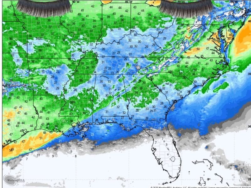
SOUTHERN UNITED STATES — A multi-state corridor from Texas to Georgia and into the Carolinas is preparing for a major wind event Monday, with forecasters warning that gusts may become strong enough to cause property damage, power outages, and hazardous travel conditions across much of the Gulf Coast and Southeast.
Winds Expected to Strengthen Rapidly Before Sunrise
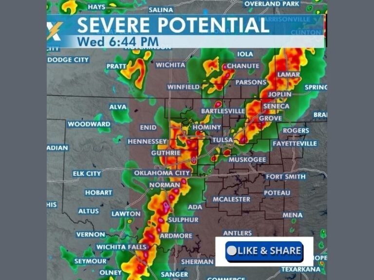
Meteorologists warn that Monday’s wind is not typical of routine cold fronts. Forecasts show aggressive, fast-moving wind bands capable of lifting unsecured objects, damaging lightweight structures, and creating hazardous conditions for pedestrians and drivers. Some areas could see wind intensities strong enough to disrupt outdoor fixtures, signage, and structural coverings, particularly around the Gulf Coast.
Houston and Gulf Coast States Could See Strongest Impacts
Forecast models show Houston, South Louisiana, and portions of Mississippi positioned in the core impact zone of the strongest gusts. Wind speeds may reach levels that could tear unsecured coverings, move lightweight exterior items, and disrupt vehicles on elevated or exposed roadways.
Forecasters describe the expected wind as “sudden, forceful, and widespread,” with the ability to create hazardous conditions for both morning commuters and early-shift workers.
Parts of Mississippi and Georgia Could See Disruptions
Communities in Jackson, Mississippi, and the Atlanta, Georgia region may also experience significant wind impacts. Officials expect periods of sharp gusts, enough to knock over unsecured items, impede walking, and cause sudden hazards for drivers. Wind bursts may arrive in short, forceful intervals, raising the risk of fallen limbs, spotty power outages, and roadway debris.
Safety Precautions Strongly Advised
Residents across the South are urged to take precautions, including:
- Securing loose outdoor items before winds increase
- Planning for difficult travel, especially in high-profile vehicles
- Avoiding parking under weakened trees
- Using caution during early morning commutes
Workers heading out early Monday should be prepared for rapid, intense gusts, especially in open parking lots and exposed walkways.
Cold Temperatures Likely After the Wind Event
Behind the wind surge, temperatures are expected to fall sharply across Texas, Louisiana, Mississippi, Alabama, Georgia, and the Carolinas. The incoming cold air may create additional challenges for weakened infrastructure and vegetation.
Residents throughout the region are encouraged to remain alert as this fast-moving system approaches. For continuing updates, community alerts, and statewide coverage, visit SaludaStandard-Sentinel.com.