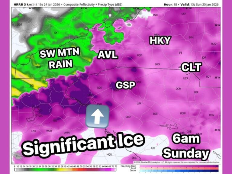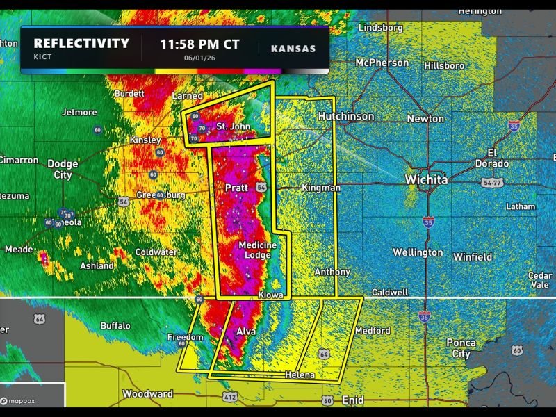
Powerful Storm Line Bearing Down on Wichita Kansas at Midnight With Extreme Radar Returns Across Pratt Medicine Lodge and St John Corridor
WICHITA, KS — A powerful and rapidly approaching line of severe storms is bearing down on the Wichita, Kansas metropolitan area as of 11:58 PM CT on June 1, 2026, with KICT radar reflectivity imagery showing an extraordinarily intense storm line displaying deep magenta and purple reflectivity values across a warned corridor stretching from St. John and Pratt southward through Medicine Lodge, Kiowa, and into the Alva and Helena area of northern Oklahoma.
Extreme Radar Returns Signal Dangerous Storm Line
Radar reflectivity captured at 11:58 PM CT shows one of the most intense and visually alarming storm presentations possible across the south central Kansas landscape, with deep magenta and purple color values within the active warning polygon indicating rainfall rates and storm intensity at the extreme end of the radar scale across the Pratt and Medicine Lodge corridor.
The storm line’s radar presentation across the warned zone encompassing St. John, Pratt, Medicine Lodge, and Kiowa reflects a highly organized and dangerous squall line carrying the potential for damaging straight line winds, large hail, and heavy rainfall as it tracks rapidly eastward toward the Wichita metropolitan area and surrounding south central Kansas communities.
Wichita Directly in the Storm’s Path
The positioning and eastward track of the intense storm line places Wichita, Kansas directly in the path of the approaching system, with the storm’s leading edge expected to arrive across the greater Wichita area within a short timeframe following the 11:58 PM radar capture given the line’s rapid eastward movement toward the city.
Communities across the Wichita metropolitan area including Hutchinson to the north, Kingman to the west, Newton, El Dorado, and surrounding Sedgwick County communities are all facing imminent severe weather impacts as the storm line tracks through south central Kansas during the late night and early morning hours.
Midnight Timing Adds to Danger
The late night timing of this storm line arrival significantly elevates the danger level for Wichita area residents, as many will be sleeping when the system arrives and may miss initial warning notifications if they are not using a NOAA Weather Radio or have Wireless Emergency Alerts disabled on their mobile devices.
Residents across Wichita and surrounding south central Kansas communities are urged to ensure their weather alert systems are active and to take immediate shelter on the lowest floor of a sturdy structure in an interior room away from windows as the storm line approaches their location.
For continuing coverage of Kansas severe weather and storm tracking across the United States, visit SaludaStandard-Sentinel.com.