Northeast Louisiana Sees Rain Surge as Gulf System Develops — Storm Risk Drops After Thursday
SHREVEPORT, LOUISIANA — A developing tropical disturbance in the Gulf of Mexico is bringing widespread rainfall and stormy conditions to northeast Louisiana, with some areas already experiencing flash flooding concerns as the system slowly drifts westward.
Tropical Disturbance Stirs Gulf, Targets Inland Louisiana
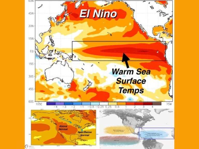
According to the National Weather Service in Shreveport, the tropical wave currently has a 30% chance of forming into a named tropical system by the end of the week. While it remains weak, its moisture is enough to generate persistent rainfall across a large swath of the state, particularly from Toledo Bend through Monroe.
Parishes such as Natchitoches, Winnfield, and Caldwell are already reporting significant precipitation, and more is on the way through Thursday evening. Some southeastern parishes — including Grant and LaSalle — are facing rain probabilities over 40%, while areas around Shreveport and Bossier City are slightly lower at 10–20%.
Flooding Concerns Grow in Low-Lying Areas
With flash flooding a growing concern, especially in poor-drainage and low-lying areas, emergency officials are advising residents to:
- Avoid travel on flooded roadways
- Keep mobile devices fully charged for potential outages
- Prepare for brief periods of heavy downpours
While these kinds of systems are common in Louisiana’s July climate, even weaker disturbances like this can trigger dangerous conditions inland, especially if rainfall continues overnight.
Storm Risk May Diminish by Friday, But Uncertainty Remains
Meteorologists expect the storm threat to ease by late Friday, as the disturbance likely weakens or moves further inland. However, the path remains uncertain, and development trends over the Gulf will play a key role in how much additional rainfall reaches central and northern parishes.
If the system intensifies, the National Weather Service warns that new advisories may be issued heading into the weekend.
What Residents Should Do
Local emergency management urges residents to:
- Monitor weather alerts regularly
- Have a go-bag ready in case of rising water
- Be cautious even if rainfall seems moderate — soil saturation from previous storms can worsen runoff and ponding
While the threat is expected to decline after Thursday, Louisiana remains vulnerable to sudden tropical surges, especially during peak summer months.
What do you think about Louisiana’s preparedness for tropical disturbances like this one? Have you experienced flooding in your area? Share your experience in the comments on SaludaStandard-Sentinel.com.