More Snow Still Coming for the Central and Northern US, GFS and EURO Models Agree Busy Winter Pattern Returns as Early as Friday
CENTRAL AND NORTHERN UNITED STATES — Despite the calendar showing mid-April, winter is not finished just yet across the central and northern United States. Both the GFS and EURO forecast models, along with a significant portion of their ensemble members, are in strong agreement that another round of snow and wintry precipitation is on the way. The busy weather pattern is expected to get underway as early as Friday, signaling that residents across the affected region should not put away their winter preparedness mindset just yet.
The level of model agreement between two of the most reliable global forecast systems adds confidence to the idea that this incoming pattern is not a fluke or an outlier signal.
What the Forecast Maps Are Showing
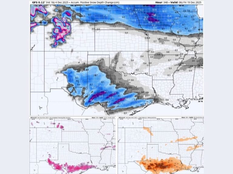
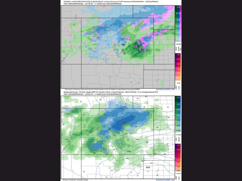
Precipitation type maps show a clear signal for snow and mixed precipitation developing across a broad swath of the central United States. Pink shading on the upper forecast map indicates areas where snow and mixed precipitation are most probable, concentrated across portions of the northern Plains and upper Midwest.
The lower EURO ensemble map further reinforces this signal, showing a well-defined area of snow potential with temperatures hovering right around the freezing mark across a wide zone. Liquid equivalent precipitation values suggest this will not be a minor dusting event in the most heavily impacted areas.
Timing and Pattern Beginning Friday
The active weather pattern is forecast to begin developing as early as Friday, with the overall setup expected to remain busy through the following days. The storm system shown on the EURO map features surface pressure values and temperature gradients consistent with a meaningful late-season snow producer for portions of the central US.
Forecasters are continuing to monitor the exact track and timing of the system, as small shifts in the storm’s path could significantly influence which areas see the heaviest snow accumulations versus rain or mixed precipitation.
Who Should Be Watching This Closely
Residents across the northern Plains, upper Midwest, and central United States fall within the primary zone of concern based on current model data. Anyone with outdoor plans, travel scheduled for this weekend, or agricultural operations vulnerable to late-season snow should monitor updated forecasts closely as Friday approaches.
The strong agreement between GFS and EURO models provides an early but reliable heads-up that this incoming pattern deserves serious attention from anyone in the potential impact zone.
Are you surprised to see more snow in the forecast this late in April? Share your thoughts and stay informed at SaludaStandard-Sentinel.com.