Freezing Rain and Ice Threat to Impact Arkansas, Tennessee, Mississippi, Kentucky, and Virginia Through Midweek
LITTLE ROCK, ARKANSAS — A strong winter system is forecast to blanket large parts of the Mid-South and Southern Appalachians with freezing rain, sleet, and icy conditions early this week, prompting meteorologists to warn residents across Arkansas, Tennessee, north Mississippi, Kentucky, and Virginia to prepare for hazardous travel and possible power outages through Wednesday.
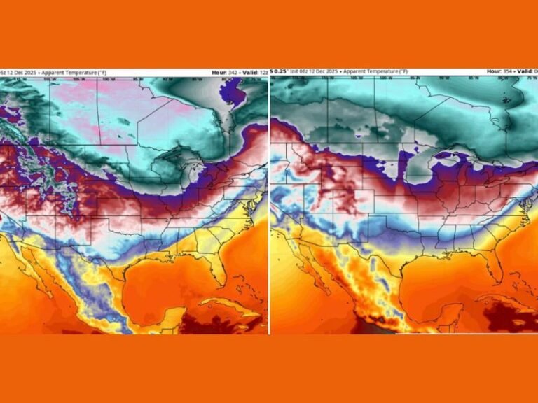
According to updated model data from both the GFS and GEM weather systems, widespread icing could begin as early as Monday night, continuing into Tuesday and Wednesday as Arctic air locks in over the region.
Major Ice Threat Building Across the Mid-South
The latest GFS 0.25-degree model shows a corridor of significant freezing rain accumulation stretching from central Arkansas and northern Mississippi through western and central Tennessee, extending northeast across Kentucky and into southwestern Virginia.
Freezing rain amounts between 0.10 and 0.50 inches are expected across much of this zone, with locally higher totals possible in elevated terrain and cold air valleys.
“We’re seeing a setup where cold air near the surface is trapping warm, moist air aloft — a classic freezing rain situation,” one meteorologist explained. “Even a quarter-inch of ice can cause tree limbs to snap and make roads extremely dangerous.”
Travel and Power Concerns Through Tuesday
The icy mix is forecast to develop overnight Monday, intensifying into Tuesday morning — coinciding with the morning commute across major cities like Little Rock, Memphis, and Nashville. Drivers are urged to stay off the roads if possible, as slick bridges, overpasses, and untreated roadways could quickly turn hazardous.
By Tuesday night, the system will expand northeastward into eastern Kentucky and southwestern Virginia, where temperatures will remain below freezing. The combination of ice and light sleet could result in downed power lines and temporary outages in rural areas.
The National Weather Service warns that travel disruptions could persist through midweek, particularly in areas that see repeated rounds of freezing rain.
“Residents should prepare for potential black ice, especially early Tuesday morning and late at night,” meteorologists advised. “Charge phones, check flashlights, and keep emergency supplies ready.”
Models Show Icy Mix, Not Heavy Snow
Unlike the blizzard conditions seen farther north, this system is primarily a freezing rain and sleet event, not a snowstorm. Ice will be the main concern, especially where the ground remains frozen while warm air above the surface allows rain to fall and instantly freeze upon contact.
The areas most likely to experience measurable ice accumulation include:
- Arkansas: Central to northeast regions, including Little Rock and Jonesboro
- Tennessee: Western and middle portions, including Memphis and Nashville
- Mississippi: Northern tier counties along the Tennessee border
- Kentucky: Central and eastern areas, including Bowling Green and Lexington
- Virginia: Southwestern mountain zones and surrounding counties
Residents Urged to Prepare Now
Authorities recommend residents:
- Limit driving and stay home if roads turn icy.
- Keep space heaters away from flammable materials.
- Prepare for potential power outages by charging devices and stocking essentials.
- Use caution when walking outside, as sidewalks may appear wet but are actually coated in ice.
“Your weather app may still say ‘rain,’ but models are showing a full-on ice setup,” a forecaster noted. “Don’t be caught off guard — this will be a significant impact event for the region.”
Outlook for Late Week
As the system exits Wednesday, temperatures will remain below average across much of the South, with potential for additional light wintry precipitation later in the week.
Stay tuned for official updates and safety information as new model runs refine the forecast. For continuing coverage and winter weather alerts, visit SaludaStandard-Sentinel.com, your trusted source for weather and community updates across the Southeast.