Coastal South Carolina Braces for More Rain, Storms and High Water Through Thursday
CHARLESTON, SC — Lowcountry communities are bracing for several more days of heavy rain, gusty thunderstorms, and potential flash flooding as a soggy pattern continues through Thursday night.
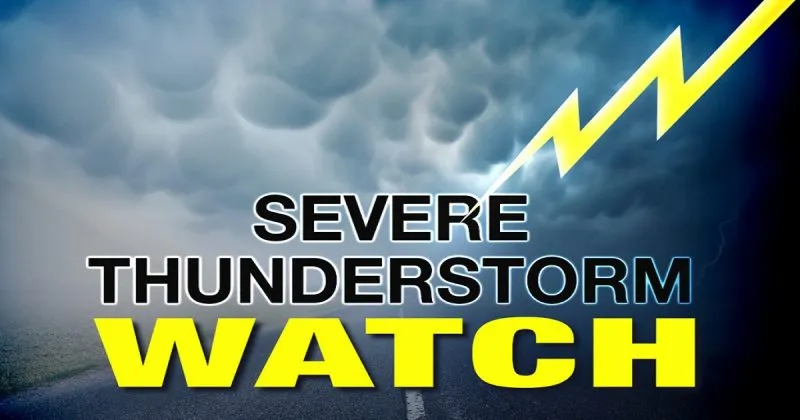
Persistent Storms Bring Flash Flood Risk
According to the National Weather Service, showers and storms are expected to intensify after 10 a.m. each day through Thursday, with the heaviest downpours forecast between 2 p.m. and late evening. These storms could deliver rainfall rates exceeding a quarter inch per hour, leading to temporary flooding, especially in urban and low-lying areas.
Winds may gust up to 20 mph, and the overall rain chance remains elevated at 60–70% each day. These conditions are likely to disrupt commutes and raise safety concerns on flood-prone roads.
High-Risk Areas Across Charleston
Flood-sensitive locations including Downtown Charleston, West Ashley, and North Charleston are already seeing impacts. Roads such as Lockwood Drive and U.S. 17 may experience temporary closures during peak rainfall.
Residents are urged to:
- Avoid driving through flooded roadways.
- Monitor local alerts and advisories.
- Keep electronic devices fully charged in case of power outages.
When Will the Rain End?
Showers are expected to persist overnight into Friday morning, with a potential break in the wet weather pattern by the weekend. However, officials warn that additional advisories or flash flood warnings may be issued if rainfall totals rise quickly in the coming days.
Charleston 5-Day Forecast:
- Monday: Thunderstorms likely after 10 a.m. | High: 84°F
- Tuesday: More storms expected after 2 p.m. | High: 87°F
- Wednesday: Storms likely, especially in the afternoon | High: 86°F
- Thursday: Thunderstorms, especially after 8 p.m. | High: 86°F
- Friday: Partly sunny, slight storm chance before 8 a.m. | High: 88°F
Stay Alert and Prepared
As the rain continues, South Carolinians in the coastal region are advised to remain weather-aware and prepare for possible flooding, traffic delays, and power disruptions.
Officials recommend checking in with local news updates, reviewing flood preparedness steps, and exercising caution while traveling through the Lowcountry corridor.
If you’re in Charleston, North Charleston, or nearby areas, how are you preparing for this week’s storms? Let us know and follow more updates on SaludaStandard-Sentinel.com.