Cold Front to Bring Strong Winds and Heavy Rain Sunday to Indiana and Kentucky
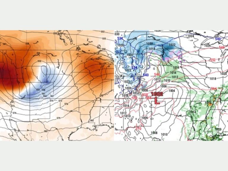
LOUISVILLE, KY. — A powerful cold front is forecast to move across southern Indiana and Kentucky this weekend, bringing strong winds, heavy rain, and scattered thunderstorms that could cause travel disruptions across the region, according to the National Weather Service in Louisville.
Meteorologists expect showers and storms to begin late Saturday and continue through early Sunday morning. While the overall risk of severe weather remains low, a few strong storms could develop overnight, especially in western Kentucky and southern Indiana.
Gusty Winds and Heavy Rainfall Forecast
The NWS reports that wind gusts of 20–30 mph will begin Saturday afternoon before strengthening to 30–40 mph on Sunday as the cold front moves east and cooler air rushes in behind it.
“Residents should prepare for windy conditions and possible travel impacts, especially on elevated roads and bridges,” forecasters warned.
Rainfall totals are expected to range between 0.75 and 1.75 inches, with localized areas north of Louisville possibly receiving more than 2 inches. The heaviest rainfall could lead to ponding on roads and reduced visibility for motorists.
Cooler Temperatures to Follow Front
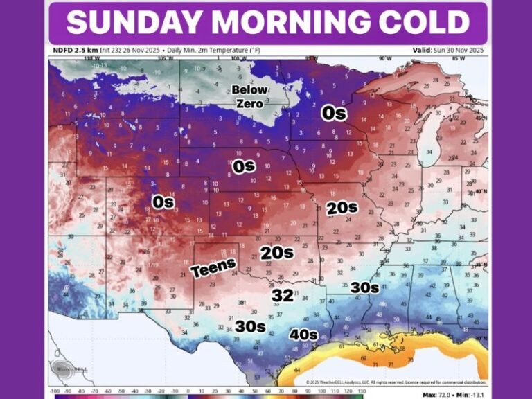
Behind the front, temperatures will drop sharply, ushering in a cooler and breezier Sunday. Lingering showers are expected to persist into the afternoon as drier air moves in from the northwest.
Forecasters say the weather shift will mark the start of a cooler, more autumn-like pattern across the Ohio Valley, with temperatures returning closer to seasonal norms early next week.
Residents Urged to Prepare
Officials are encouraging residents to secure outdoor furniture and decorations, as the strong winds could easily topple light objects or cause debris to blow onto roadways. Drivers should also allow extra time for travel, particularly on rural roads and highways with limited visibility during downpours.
“Prepare now for gusty winds and possible brief heavy rainfall,” the NWS advised. “Keep an eye on updated forecasts as the system approaches.”
As fall weather patterns settle in, the cold front marks the first in a series of stronger late-October systems expected to move through the Midwest and Ohio Valley in the coming weeks.
Stay updated with the latest regional weather alerts and safety tips at SaludaStandard-Sentinel.com, where daily forecasts and storm updates keep residents informed and prepared across the South and Midwest.

