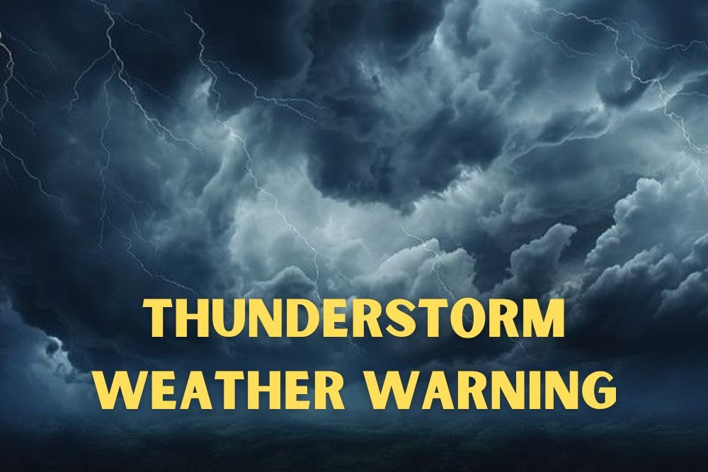
Colorado Weather: Thunderstorm Chances Continue Over Southern Mountains and Plains Through Monday
PUEBLO, Colo. — Southern Colorado residents should brace for scattered thunderstorms through Monday, as warmer-than-normal afternoons give way to storm development along the mountains and plains.
Storms Expected Each Afternoon
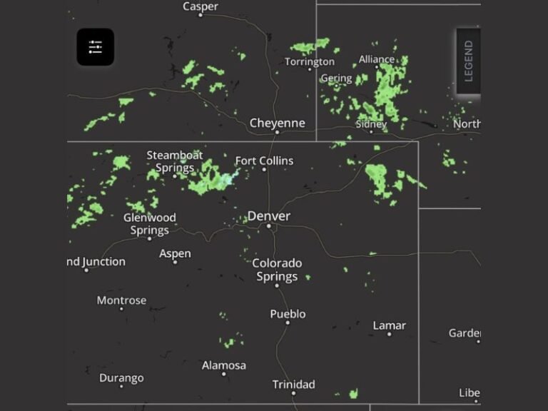
According to the National Weather Service in Pueblo, showers will be most likely around the Sangre de Cristo and Wet Mountains, with storms drifting eastward into the southern plains during the evenings. Hazards include lightning, gusty winds, and brief heavy downpours.
Travel and Outdoor Impacts
Motorists traveling along I-25 between Trinidad and Pueblo should be cautious of sudden downpours that could reduce visibility during evening commutes. Outdoor plans in Canon City, La Junta, and Lamar may also face interruptions from fast-moving storm cells.
Emergency officials advise residents to avoid open areas during lightning activity and secure loose outdoor items in advance of strong winds.
Weather Pattern Into Next Week
The stormy pattern is expected to continue into early next week. However, forecasters say a shift by midweek could bring cooler and potentially wetter conditions statewide, signaling a broader weather change on the horizon.
Have you noticed an increase in late summer storms across southern Colorado this year? Share your experiences with us at SaludaStandard-Sentinel.com.