2 Potential Tropical Systems and Dexter Could Impact North Carolina Weather
NORTH CAROLINA — As the Atlantic hurricane season ramps up, Tropical Storm Dexter and two additional disturbances have caught the attention of forecasters at the National Hurricane Center, raising concerns for possible weather impacts along the North Carolina coast.
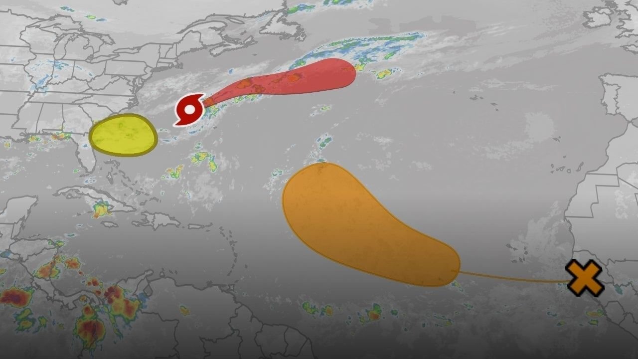
Tropical Storm Dexter Remains Offshore
The National Hurricane Center (NHC) confirmed that Tropical Storm Dexter, currently located well off the U.S. Atlantic coastline, is expected to continue drifting further away from land. While the system isn’t posing a direct threat to North Carolina, Dexter’s presence is still creating hazardous surf and rip current conditions at the state’s beaches.
Two Additional Systems Under Watch
In addition to Dexter, two separate tropical disturbances are forming:
- One disturbance is located off the coasts of Georgia and South Carolina, with a 30% chance of development over the next seven days. It’s slowly moving west to northwest.
- The second disturbance sits off the coast of West Africa, with a 50% chance of becoming a tropical depression by the end of this week. Meteorologists say this system is still far from land but is being monitored closely.
Gail Hartfield, a meteorologist with the National Weather Service in Raleigh, emphasized that while none of these systems are currently expected to make landfall, they could still impact coastal conditions significantly.
NC Facing Rip Currents and Surf Hazards
Coastal communities in North Carolina are already experiencing elevated risks. According to the National Weather Service in Newport/Morehead City, dangerous rip currents and large breaking waves are possible throughout the week, particularly around August 4–5.
A Small Craft Advisory remains in effect through at least Tuesday morning, urging caution for mariners and boaters navigating nearshore waters.
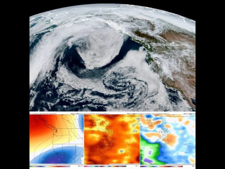
Hurricane Season Enters Active Stretch
This burst of activity is in line with seasonal expectations. The Atlantic hurricane season peaks around September 10, with most storm activity typically occurring between mid-August and mid-October.
The National Oceanic and Atmospheric Administration (NOAA) forecasts 13 to 19 named storms this season, including 6 to 10 hurricanes. So far, this year’s named storms include:
- Andrea
- Barry
- Chantal
- Dexter
If additional storms form, the next names will be Erin and Fernand.
What to Watch Going Forward
While no immediate landfall threats are forecasted, forecasters are urging residents along the Carolina coasts to remain alert. Weather conditions may shift quickly, especially with active systems developing across the Atlantic basin.
The News & Observer’s weather team is closely tracking storm paths and urging locals to heed all marine warnings, beach safety alerts, and local advisories through the National Weather Service and NOAA.
Are you seeing unusual surf or rip current activity near your area? Let us know how your community is preparing for the peak of hurricane season at saludastandard-sentinel.com.