Moderate Flash Flood Risk Targets Louisiana Mississippi Alabama and Florida Panhandle Friday as Saturated Grounds Brace for 1 to 3 More Inches of Rain
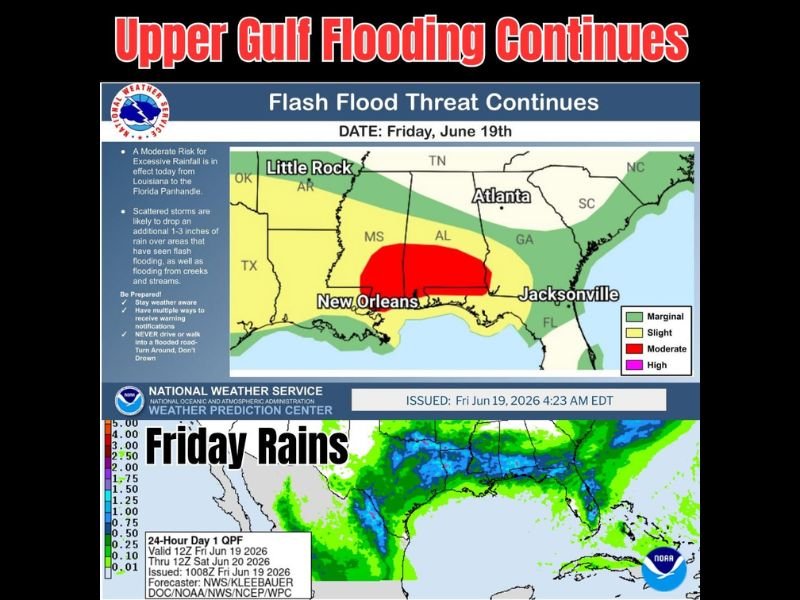
NEW ORLEANS, LA — The National Weather Service Weather Prediction Center has placed the region stretching from Louisiana to the Florida Panhandle under a Moderate Risk for excessive rainfall Friday, as a stalled frontal boundary along the Upper Gulf Coast continues to bring repeated rounds of heavy rain to already saturated ground.
Moderate Risk Centered Over the Upper Gulf
The Weather Prediction Center issued the outlook at 4:23 AM EDT Friday, highlighting a Moderate Risk area covering portions of Louisiana, Mississippi, and Alabama, with New Orleans positioned near the center of the highest-risk zone. A broader Slight Risk extends outward across much of the Gulf South, including areas surrounding Jacksonville and the Florida Panhandle.
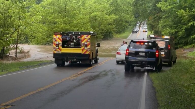
Scattered storms are likely to drop an additional 1 to 3 inches of rain over areas that have already experienced flash flooding, along with ongoing flooding from area creeks and streams that remain swollen from previous rounds of rainfall.
Saturated Soils Raise the Flooding Stakes
Ground conditions across the Upper Gulf region are already saturated from previous days of heavy rainfall, meaning any additional moisture has a significantly higher chance of running off rather than soaking in. This sets the stage for renewed flash flooding even in areas that do not receive the heaviest rainfall totals.
Forecast rainfall maps show widespread totals exceeding an inch across a large swath of the Gulf Coast, with some isolated areas potentially seeing totals well above that threshold as repeated rounds of storms train over the same locations through the day.
Marginal and Slight Risk Areas Extend Across the Southeast
Beyond the Moderate Risk zone, a Marginal Risk for excessive rainfall extends northward into Arkansas, Tennessee, Georgia, and the Carolinas, including areas near Atlanta and Little Rock. While the flooding threat diminishes outside the core Moderate Risk area, scattered heavy downpours remain possible across the broader Southeast.
Residents Urged to Stay Weather Aware
The National Weather Service is urging residents across the threat area to stay weather aware and maintain multiple ways to receive warning notifications throughout the day. Officials emphasized that no one should ever drive or walk into a flooded roadway, repeating the standard guidance to turn around rather than risk crossing flooded streets.
For continuing coverage of flooding threats and severe weather impacts across the United States, visit SaludaStandard-Sentinel.com.