Severe Thunderstorm Line With Strong Gusty Winds Targeting Northwest Ohio and Toledo After 10PM Thursday Clearing the Region Between 2AM and 4AM Friday
TOLEDO, OH — A Weather Impact Alert is in effect for northwest Ohio Thursday night, June 11, as a severe thunderstorm line forming west of Chicago is expected to push into the region after 10 p.m. with the highest risk for strong gusty winds concentrated west of Interstate 75, impacting communities including Wauseon, Bryan, Defiance, Van Wert, and the greater Toledo area before clearing by 2 to 4 a.m. Friday morning.
Thursday Daytime Conditions
Despite highs climbing back near 90°F Thursday, daytime pop-up thunderstorm activity is considered unlikely across northwest Ohio. The atmosphere will spend the entire day reloading and building energy in preparation for the evening storm line rather than releasing it prematurely through afternoon convection. Residents can expect a hot and mostly dry Thursday until the storm line approaches from the west after dark.
How the Storm Line Develops
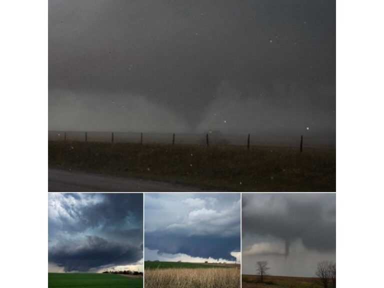
The first significant storms will fire west of Chicago during the evening hours before organizing into a line and beginning their eastward push toward northwest Ohio. The linear storm mode — a fast-moving squall line — is the primary setup for this event, which shifts the dominant hazard toward widespread gusty and potentially damaging winds rather than isolated tornado or large hail threats.
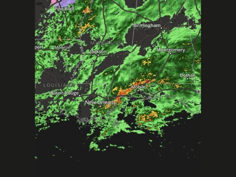
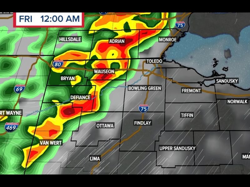
WTOL 11 Weather Impact Alert hour-by-hour radar imagery valid Friday at 12:00 a.m. shows intense green, yellow, and red reflectivity cores already pushing into the Hillsdale, Adrian, Wauseon, Bryan, and Defiance corridor with the leading edge of the line approaching the I-75 corridor near Toledo, Bowling Green, and Findlay at that hour.
Highest Risk Zone
The area west of Interstate 75 carries the highest severe weather risk Thursday night, encompassing Van Wert, Defiance, Bryan, Wauseon, and surrounding communities in the far northwest corner of Ohio. Toledo and the I-75 corridor from Findlay northward to the Lake Erie shoreline will experience the storm line as it exits the highest-risk zone and continues northeast.
Communities east of I-75 including Fremont, Tiffin, Norwalk, and Mansfield should remain alert but face a lower overall severe threat as the line gradually weakens moving away from its primary energy source.
Overnight Safety Reminder
With the storm line arriving after 10 p.m. and persisting past midnight, residents across northwest Ohio should keep weather alerts active on their devices overnight and have a shelter plan ready before going to sleep Thursday evening.
For continuing coverage of Ohio severe weather and storm threats across the United States, visit SaludaStandard-Sentinel.com.