Wilmington Weather Alert: Cape Fear River Flooding Risk Peaks Friday Before Weekend Storms
WILMINGTON, N.C. — Coastal residents are being warned of flooding risks along the Cape Fear River Friday evening, followed by a stormy weekend that could disrupt travel and outdoor events, including football games.
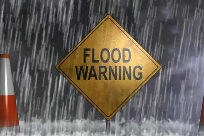
Friday Evening Flood Advisory
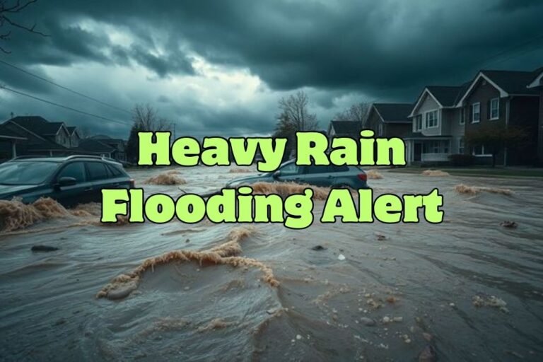
The National Weather Service in Wilmington issued a Flood Advisory from 7 p.m. to 11 p.m. Friday, with rising evening tides expected to push water onto low-lying streets near the river.
Areas of concern include USS North Carolina Road and Battleship Road, which could become impassable after dark. Up to a half-foot of water may accumulate in some locations. Officials urge residents to avoid driving through flooded streets and to plan detours if heading out Friday night.
Hot Saturday Before Storm Chances Increase
Flooding concerns ease Saturday, but patchy morning fog is possible before skies clear. Afternoon highs will approach 90°F under mostly sunny conditions.
Sunday Storms Could Impact Football Games
By Sunday afternoon, thunderstorms are expected to develop across the Wilmington area, bringing heavy downpours and a 50% chance of rain.
These storms could affect weekend events, including football games, tailgates, and late-day travel. Storm chances will linger into Sunday evening, raising the possibility of flooding in low-lying areas.
Early Week Outlook
- Monday: Partly sunny, highs near 80°F.
- Tuesday: Mostly cloudy with scattered showers, highs in the low 80s.
- Wednesday: Showers remain possible, highs near 82°F.
Cooler overnight lows in the mid-60s signal that early fall weather is starting to settle into the region.
Residents are advised to monitor updates closely throughout the weekend as additional flood advisories could be issued with upcoming high tides.
Do you think Wilmington should invest more in flood control infrastructure along the Cape Fear River? Share your views with us at SaludaStandard-Sentinel.com.