Tropical Remnants Bring 4 to 5 Inch Flooding Threat and Brief Tornado Risk Across South Alabama Through This Weekend
SOUTH ALABAMA — Remnants of a tropical system are pushing through Alabama Thursday, triggering a First Alert Weather Day as heavy rain, scattered storms, and a non-zero tornado threat combine to create dangerous conditions — particularly across southern portions of the state through the weekend.
Flooding Is the Primary Danger Today
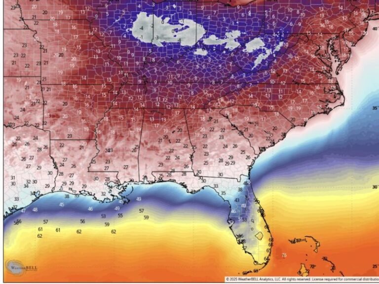
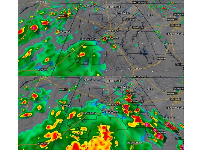
The dominant hazard from this event is flooding. Rainfall guidance continues to show 4 to 5 inch totals possible for some areas through Friday, with the heaviest accumulations expected south. Storms are expected to be slow-moving, meaning any given location could see prolonged, intense downpours. Areas with poor drainage or a history of standing water are at the greatest risk of flash flooding during the morning and afternoon hours.
Tornado Threat Cannot Be Ruled Out
While large, long-track tornadoes are not expected, brief rotation cannot be ruled out with these tropical remnants. Tropical systems carry embedded moisture and instability that can occasionally support quick-spin tornadoes, especially where convective activity clusters and surface temperatures are warmest. South Alabama carries the greatest tornado risk today. A brief tornado was confirmed in Coffee County on Wednesday before moving into Dale County, underscoring the reality of this threat.
Storm Coverage Through the Weekend
Rain coverage is expected to decrease Thursday night before additional scattered storms develop Friday on the backside of the departing system. Not every location will see rain Friday, but where downpours do occur, the flooding risk will persist. Both Saturday and Sunday will feature a mix of sun and clouds, though muggy conditions will keep storm chances elevated each afternoon. Temperatures are expected to warm into the mid to upper 80s each day across the weekend.
Early Next Week Outlook
The typical summer pattern of scattered afternoon convection is forecast to lock back in through early next week, with coverage becoming more isolated by midweek. Residents should continue monitoring updated forecasts as meteorologists fine-tune rainfall timing, storm coverage, and intensity for each day ahead.
For continuing coverage of severe weather threats and regional storm analysis across the United States, visit SaludaStandard-Sentinel.com.