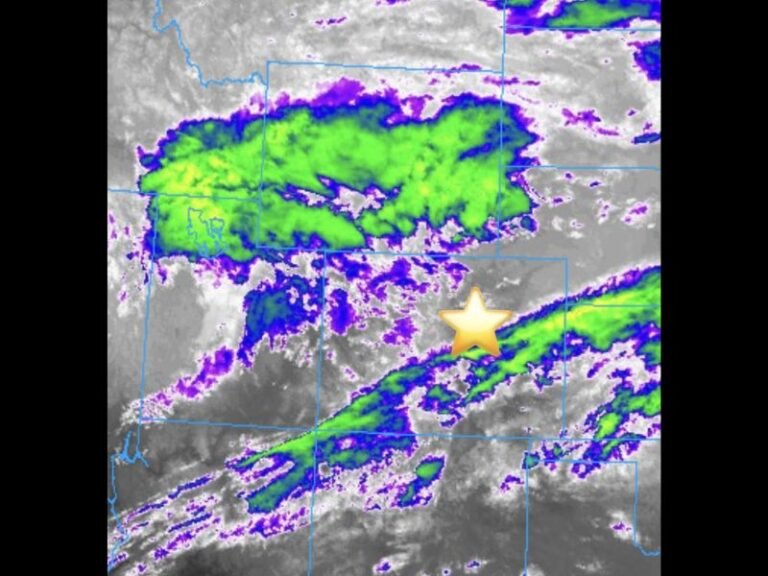
Texas and Oklahoma Forecast to See Increasing Rain Chances Next Week as Pacific and Gulf Moisture Fuel Midweek Storm System
TEXAS — After a stretch of dry conditions, both Texas and Oklahoma are expected to see increasing chances for rain next week, with the highest likelihood arriving Tuesday and Wednesday as a developing storm system taps into deep Pacific and Gulf moisture. Forecasters say the upcoming pattern shift could bring meaningful rainfall to eastern, central, and northern Texas — with some impact extending into southeastern Oklahoma.
A smaller chance for scattered showers and storms also exists this Saturday, especially across southeast Texas.
Moisture Surge Expected to Bring Widespread Rainfall
Meteorologists tracking the system note that next week’s event will be driven by a combination of:
• Pacific upper-level energy
• Gulf of Mexico moisture return
• Increasing instability ahead of a developing trough
These ingredients will raise the probability of showers and storms across a broad swath of the region, particularly on Tuesday and Wednesday.
Areas most likely to see rainfall include:
• Houston, Beaumont, and the southeast coast
• Austin, San Antonio, and the I-35 corridor
• Dallas–Fort Worth and North Texas
• Portions of southeast Oklahoma, including the Red River region
Saturday Brings a Small Chance for Pre-Week Rain in Southeast Texas
While the main system arrives midweek, the first round of light showers could develop Saturday, primarily in southeast Texas. These early showers are expected to be scattered and brief, but may signal the beginning of a wetter pattern.
Best Rain Chances: Tuesday and Wednesday
Forecast models continue to point toward Tuesday and Wednesday as the most favorable window for widespread precipitation. During this period, deeper moisture and stronger lift in the atmosphere increase the likelihood of:
• Widespread rain
• A few thunderstorms
• Locally heavier downpours in eastern Texas
The potential rainfall would be welcomed across many parts of Texas and Oklahoma that have experienced recent dry stretches and below-average precipitation.
Areas to Watch for Heavier Rainfall
Based on current projections, the greatest potential for heavier, more persistent rain lies along and east of the I-35 corridor — particularly in:
• Houston and coastal counties
• Beaumont and the Golden Triangle
• College Station and eastern Brazos Valley
Communities farther west, including the Hill Country and West Texas, may see lighter totals.
Rainfall Still Uncertain but Trend Is Favorable
Forecasters caution that exact rain totals and storm timing may shift as the system develops. However, confidence remains solid that a notable increase in rain chances is likely next week.
Residents across Texas and Oklahoma should monitor forecast updates through the weekend, especially if planning travel or outdoor events.
For continued weather coverage and updates throughout the region, visit SaludaStandard-Sentinel.com.


