Southwest Indiana and Western Kentucky Face Storm Risk Monday as Cold Front Moves In
PADUCAH, KENTUCKY — Residents of southwest Indiana and western Kentucky are enjoying summer-like warmth to start October, but forecasters warn that a cold front arriving Monday could bring storms and unsettled weather into early next week.
Warmth Dominates Through the Weekend
According to the National Weather Service in Paducah, temperatures will remain well above seasonal averages through Sunday.
- Friday: Sunny, highs 83°–90°, lows 59°–65°
- Saturday: Mostly sunny, highs 83°–87°, lows 56°–61°
- Sunday: Sunny, highs 83°–89°, lows 55°–61°
Locations including Paducah, Owensboro, and Madisonville can expect highs near 90 degrees Friday and Saturday. Neighboring areas such as Cape Girardeau, Missouri, and Carbondale, Illinois will see similar conditions.
Cold Front Brings Storm Chances
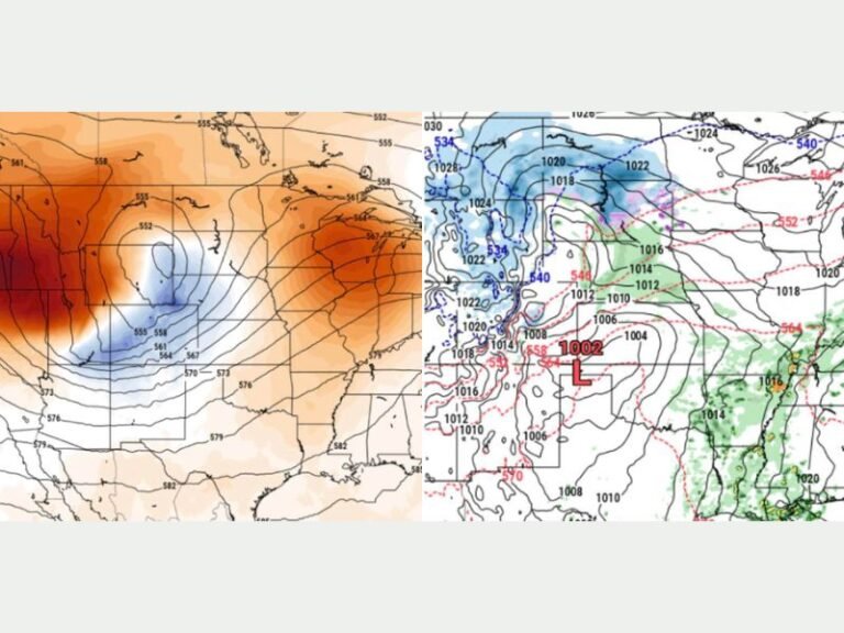
Forecasters say a cold front will move into the region Monday, bringing a higher chance of showers and thunderstorms.
- Monday: Showers and storms likely, highs 82°–87°, lows 60°–76°
- Tuesday: Continued storm chances, highs 79°–86°, lows 61°–66°
The system could impact commuters Monday morning and disrupt outdoor events through Tuesday.
Safety Precautions
Officials advise residents to keep alternate indoor plans for early next week and to remain alert to potential severe weather advisories as the front strengthens.
Travelers are also urged to monitor road conditions, as rainfall and thunderstorms could make driving hazardous.
Seasonal Shift Ahead
While the warm spell has been a welcome extension of summer for many, the cold front signals the transition into more typical October weather. Highs are expected to settle into the upper 70s and low 80s by midweek.
Do you think this early October heatwave shows signs of shifting weather patterns in the Ohio Valley? Share your thoughts and join the conversation at SaludaStandard-Sentinel.com.