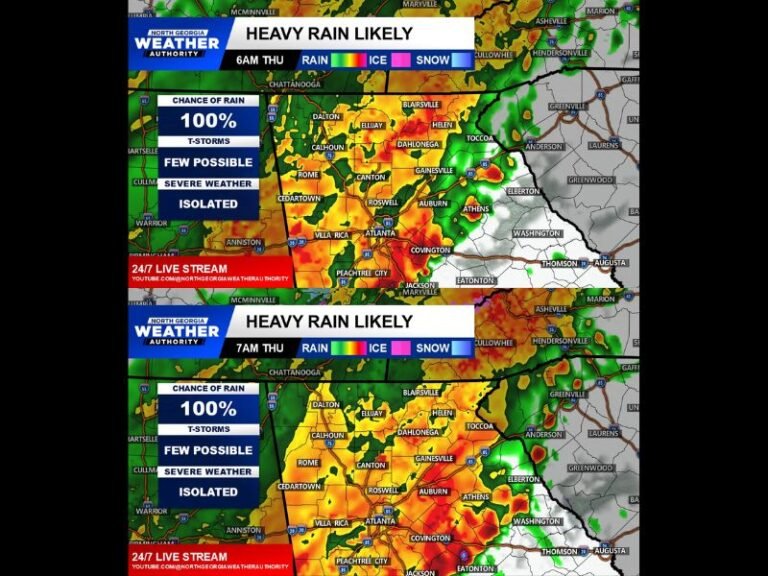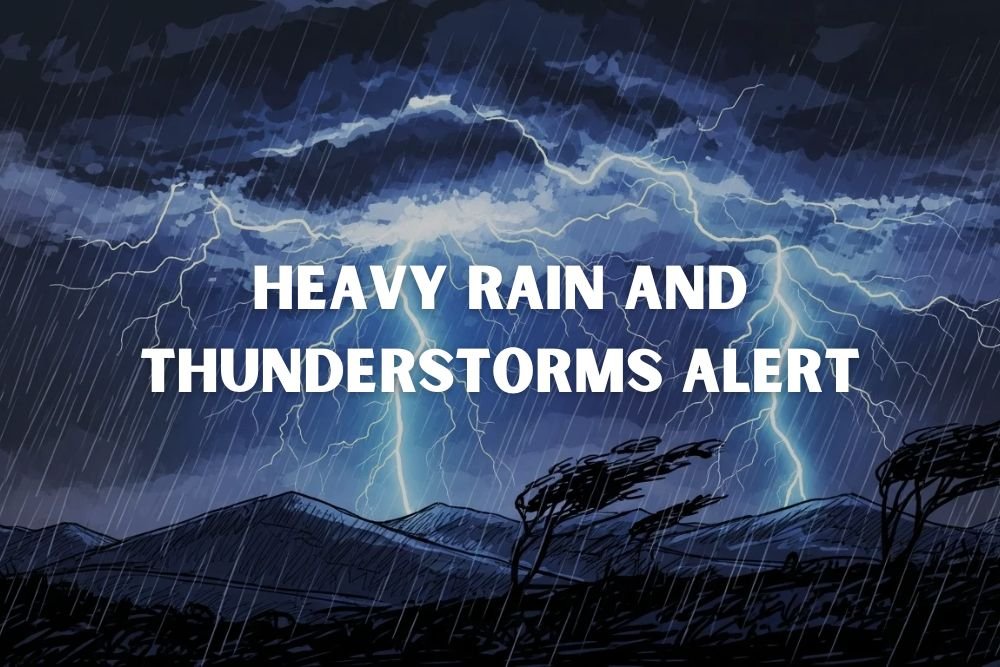
Seattle Weather Alert: Heavy Rain and Thunderstorms to Begin Late Sunday Into Monday
SEATTLE, Wash. — Western Washington is bracing for a stormy start to the week, as forecasters warn of heavy rain and possible thunderstorms across the Seattle area late Sunday into Monday.
Timing of the Storms
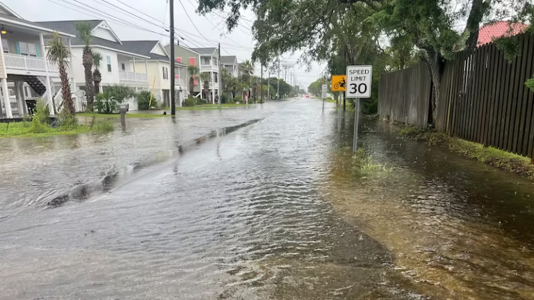
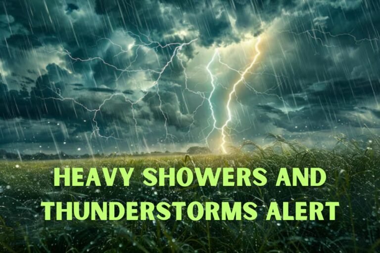
The National Weather Service says widespread showers will develop Sunday, with the heaviest rainfall and storm activity expected between late Monday morning and mid-afternoon. Some storms may bring brief downpours and lightning, particularly in King, Snohomish, and Pierce counties.
Rainfall totals are expected to remain below half an inch overall, though isolated thunderstorms could push local amounts higher.
Travel and Safety Impacts
Drivers along I-5 and Highway 520 should prepare for slick roads, reduced visibility, and slower commutes during the Monday morning and evening rush hours.
Seattle’s high on Monday will reach near 70°F, with overnight lows dipping into the low 50s. Forecasters note that cooler evenings and damp mornings are signs that fall weather patterns are settling in.
Outlook for the Week
Conditions will improve by Tuesday, with sunny skies and highs in the low 70s. Dry weather should hold through midweek before another weak storm system approaches Friday.
Five-Day Forecast for Seattle, WA
- Sunday: Showers, chance of storms. High 66, low 52.
- Monday: Heavy rain and storms midday. High 70, low 53.
- Tuesday: Sunny, high 73, low 54.
- Wednesday: Mostly sunny, high 72, low 53.
- Thursday: Slight chance of rain. High 69, low 54.
Do you think Seattle is prepared for the transition to wetter fall weather this early in the season? Share your thoughts with us at SaludaStandard-Sentinel.com.