Ohio Valley Weather Alert: Calm Week Expected, With Southeast Basin Storm Risk Through Tonight
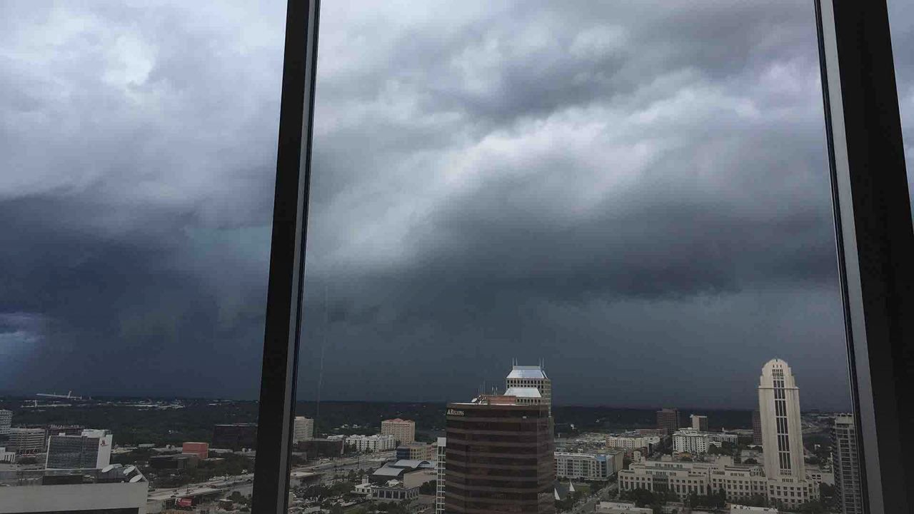
CINCINNATI, Ohio — Most of the Ohio Valley is set to experience a quiet stretch of weather this week, bringing a welcome break from recent unsettled conditions. However, the southeastern basin of the region remains under storm risk through tonight, with forecasters warning of localized flash flooding in vulnerable areas.
Storm Risk in Southeast Basin
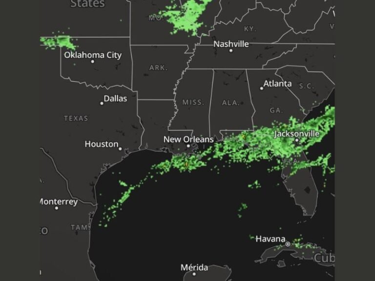
According to the National Weather Service Ohio River Forecast Center, southern and eastern Ohio could see half an inch to a full inch of rainfall, with some isolated areas recording over 2 inches. The combination of lingering storms and saturated soils raises concerns for flash flooding in low-lying and poor-drainage zones, particularly in rural counties.
Communities near tributaries of the Ohio River are advised to stay alert. Roads prone to ponding and flooding may experience temporary closures overnight, complicating travel and raising risks for motorists.
Safety Guidance from Officials
Emergency managers across the region are urging residents to take precautions. Drivers are reminded:
- Never attempt to cross flooded roadways. Even shallow water can sweep away vehicles.
- Charge devices in advance, as isolated power outages are possible where storms track strongest.
- Monitor local advisories, as flood watches or warnings may be issued if rainfall totals intensify overnight.
Calm Outlook for Rest of Ohio Valley
While southeast Ohio faces tonight’s storm risk, the broader Ohio Valley remains calm. Rivers are expected to stay within their banks, providing relief after weeks of unsettled conditions that raised hydrologic concerns. This stability will allow water systems to recover, though authorities caution that conditions could shift quickly if rain bands linger longer than forecast.
The National Weather Service may issue additional advisories should storm clusters develop along the southeastern basin into late evening.
Extended Forecast
- Thursday Night: Storms possible southeast Ohio; flash flooding risk persists. Elsewhere, calm conditions dominate.
- Friday–Saturday: Mostly sunny, highs in the 80s, dry across most of Ohio Valley. Rivers remain stable.
- Sunday–Tuesday: Continued quiet weather, occasional clouds. Temperatures trend seasonal with highs in upper 70s to low 80s.
- Midweek Next Week: Storm chances return but widespread flooding not anticipated at this time.
What It Means for Residents
For residents of southern and eastern Ohio, vigilance remains crucial tonight. Localized flash flooding is the primary concern, particularly near small creeks, rural roadways, and low-lying farmland. Meanwhile, the rest of the Ohio Valley enjoys a stretch of stability, offering communities time to recover from past rounds of unsettled weather.
The Ohio Valley is entering a period of relative calm, though tonight’s storm risk in the southeast basin serves as a reminder of how quickly conditions can change. Forecasters continue to monitor rainfall totals and storm development, with further updates expected overnight.
Are you in southeast Ohio or near the Ohio River basin? Have you noticed flooding, road closures, or storm damage? Share your updates with us in the comments on SaludaStandard-Sentinel.com.\