Ohio Sits in Derecho Alley as Summer Peak Season Begins With Storms Capable of Producing 100 MPH Winds Across Hundreds of Miles From the Plains Through the Ohio Valley
TOLEDO, OH — Ohio is entering the climatological peak of derecho season, a period running through June and July when a lesser-known severe weather corridor known as Derecho Alley becomes most active, capable of producing long-lived thunderstorm complexes with wind gusts of 60 to 100-plus mph that impact entire regions simultaneously across hundreds of miles.
What Is Derecho Alley
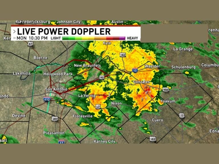
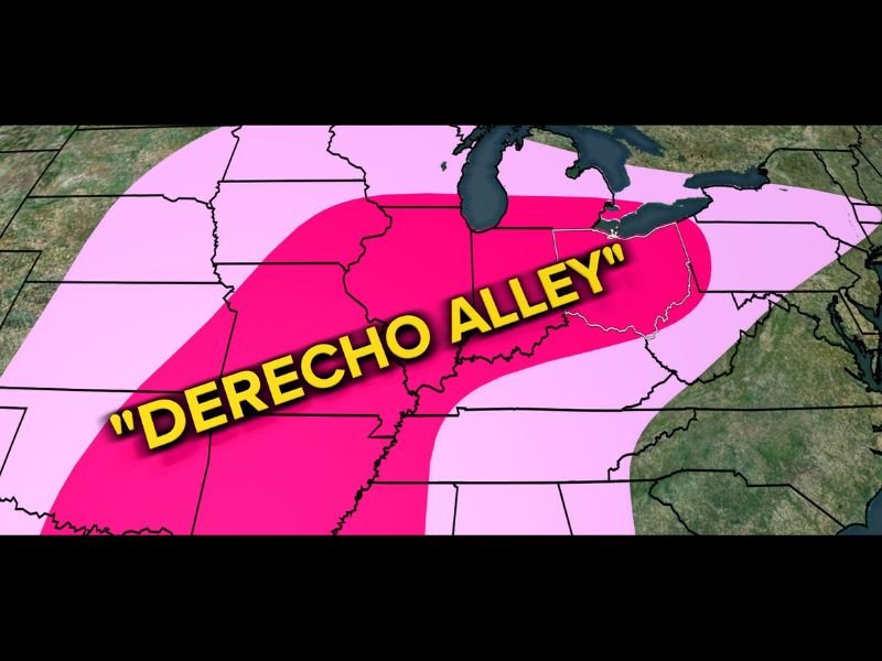
While most people are familiar with Tornado Alley, a separate corridor stretches from the Plains through the Midwest and into the Ohio Valley where atmospheric ingredients frequently align for the development of long-lived squall lines capable of producing widespread, hurricane-force wind damage. This corridor has become known as Derecho Alley, and a graphic from WTOL 11 Weather Impact shows the highest-probability zone running directly through Ohio and the broader Ohio Valley region, extending from the Plains states eastward across the Midwest.
Derechos differ fundamentally from tornadoes in their impact pattern. Rather than a narrow, intense path of destruction, a derecho can affect entire regions at once with damaging straight-line winds, knocking down trees, damaging buildings, and causing widespread power outages across a footprint spanning multiple states in a single event.
Why June and July Matter Most
June and July represent the busiest months for derecho development, as the combination of intense daytime heating, strong instability, and favorable wind shear profiles becomes most common during the heart of summer. Ohio has experienced some of its most memorable wind storm events during this window, including the June 2012 derecho that left millions of customers without power across the broader Midwest region — one of the most significant non-tornadic wind events in recent U.S. history.
How Derechos Develop
A derecho begins as a single thunderstorm before rapidly expanding into an intense, organized squall line as it tracks eastward. This evolution from isolated convection to a region-wide wind event can occur over a relatively short timeframe, giving communities limited advance notice once the process accelerates.
Staying Prepared This Summer
With Ohio sitting squarely within Derecho Alley during the peak of the season, residents should ensure they have reliable means of receiving severe weather alerts and a safety plan ready, as a derecho event can impact an entire region simultaneously with little warning. For continuing coverage of Ohio severe weather and storm threats across the United States, visit SaludaStandard-Sentinel.com.