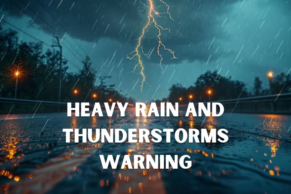
North Carolina Weather Alert: Raleigh Braces for Heavy Rain and Thunderstorms Thursday
RALEIGH, N.C. — Central North Carolina commuters are being warned of hazardous conditions as storms and heavy rainfall are expected to arrive Thursday, September 25, bringing lightning, flooding risks, and slick roads.
The National Weather Service said storms are likely to develop after 2 p.m. Thursday, affecting travel during the evening rush hour.
Storms to Impact Evening Commute
Rainfall amounts between a quarter and half an inch are expected, with the potential for thunderstorms to intensify into the evening. Drivers on I-40, U.S. 70, and other commuter routes may face reduced visibility, ponding, and longer travel times.
The N.C. Department of Transportation urged drivers to exercise caution and avoid unnecessary travel during the heaviest downpours.
Cold Front Triggers Weather Shift
The storms follow a hot stretch of weather earlier in the week, with highs in the upper 80s and low 90s. A weak cold front moving in Thursday will trigger the widespread showers and storms.
Rain chances will remain elevated through Friday night, bringing the possibility of additional downpours and localized flooding.
Looking Toward the Weekend
- Tuesday: Mostly sunny, high 88°F.
- Wednesday: Sunny, high 91°F, slight chance of late showers.
- Thursday: Showers and storms after 2 p.m., high near 90°F. Rain continues at night.
- Friday: Showers likely, possible storms, high near 83°F. Evening rain continues.
- Saturday: Mostly cloudy with scattered showers, high near 80°F.
Conditions are expected to ease by Sunday, when skies clear and temperatures drop to the low 80s. Cooler air will arrive early next week, with highs only in the upper 70s — signaling fall’s first extended break from summer heat.
Do you plan to adjust your travel schedule for Thursday’s storm risk in Raleigh? Share your thoughts in the comments on SaludaStandard-Sentinel.com.