North Carolina Sees Cooler Start to Week, Rain Chances Increase by Tuesday
NORTH CAROLINA — After weeks of sweltering summer heat, North Carolina residents are enjoying a rare break in the weather as milder temperatures and a bit of sunshine welcome the start of the new week. But the reprieve will be short-lived, with meteorologists warning that increased rain chances are on the horizon for much of the state.
Cooler Air Follows Steamy July
The arrival of August has brought a noticeable shift in the weather pattern. The oppressive July heat — which frequently sent heat indices into the lower 100s — has been replaced by cooler air and lower humidity, according to WXII 12. Current highs are running roughly 10 degrees cooler than average, offering some relief across the Piedmont Triad and central parts of the state.
Sunshine to Start, Showers to Follow
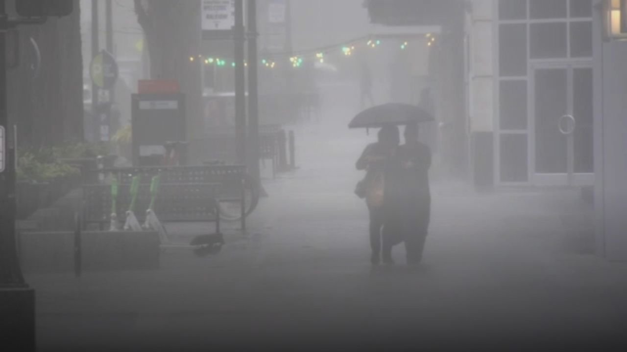
Monday is expected to be the most pleasant day of the week, with some areas seeing early sunshine and drier air thanks to a shifting air mass. But the WXII 12 First Warning Weather team notes that rain chances will rise sharply on Tuesday and Wednesday, bringing with them the possibility of scattered showers and isolated thunderstorms.
The dew point levels, which indicate moisture in the air, are forecast to drop on Monday — a clear sign of temporary drier conditions in both North Carolina and parts of Virginia.
Forecast Highlights for the Week
Here are 10 key weather takeaways for this week in North Carolina:
- Monday: Best day for outdoor activities, with partial sunshine and mild temperatures
- Tuesday–Wednesday: Expect high rain chances and scattered storms
- Highs: About 10° below seasonal norms due to increased cloud cover
- Dew points: Drop Monday with more moisture returning by midweek
- August Outlook: Temperatures may still trend above normal for the month despite a cooler start
- Radar & Alerts: Stay tuned to National Weather Service Raleigh and Blacksburg offices for updates
- Humidity Levels: Will climb again after the brief Monday drop
- Triad Focus: Greensboro’s PTI Airport recorded record cool highs to start August
- Air Quality: No major alerts, but check local forecasts
- Sunshine vs Clouds: More clouds than sun expected most days this week
What This Means for Residents
For those hoping to enjoy some time outdoors, Monday presents the best opportunity before a return to rainy and stormy conditions by midweek. With temperatures remaining lower, residents may find temporary relief from air conditioning use and heat-related concerns.
Have you noticed the cooler shift in your neighborhood? Share your local weather pictures and stories with us at saludastandard-sentinel.com.