La Niña Weather Pattern to Bring ‘Triple Dipper’ Storm Setup Across Southern U.S. This Week
SOUTHERN U.S. — A developing La Niña weather pattern is setting up across the southern half of the United States, and meteorologists warn it could trigger a “triple dipper” sequence of storms spanning multiple days this week.
Forecast models show three separate storm systems moving through the South between Saturday and next weekend — each fueled by a horizontal jet stream flow and warmer Gulf air that’s helping to energize the atmosphere.
Three Rounds of Storms Expected
Meteorologists say the first round of storms (#1) will begin on Saturday, impacting parts of Texas, Louisiana, Mississippi, and Arkansas as moisture surges north from the Gulf of Mexico. The Storm Prediction Center (SPC) has already highlighted areas for potential severe thunderstorms and heavy rain during this first wave.
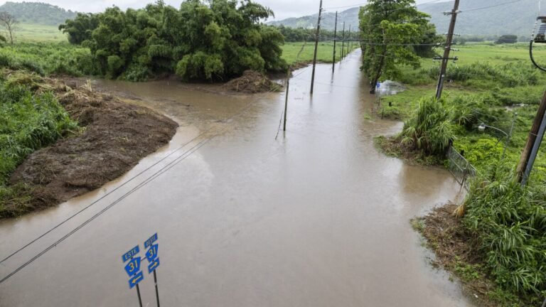
After a brief lull, a second system (#2) is expected to form by Monday into Tuesday, again sweeping across the lower Mississippi Valley and Deep South. This round could bring more organized storm clusters and localized flooding, especially where soils remain saturated from earlier rainfall.
Finally, a third disturbance (#3) is forecast to arrive Friday into Saturday, likely shifting eastward into Georgia, Alabama, and northern Florida. While still several days away, forecasters caution that this system could dip farther southeast, delivering additional rain and possible thunderstorms along the Gulf Coast and Florida Panhandle.
La Niña Pattern Driving Southern Storms
The culprit behind this busy weather stretch is the developing La Niña setup, which tends to produce a strong west-to-east jet stream that funnels storms across the southern U.S.
During La Niña winters, the southern tier of states — including Texas, Louisiana, Mississippi, Alabama, and Georgia — typically experience warmer temperatures and frequent storm activity, while northern regions see colder and drier air.
Meteorologist Mike Boylan from SpaghettiModels.com, who shared the forecast maps, noted that the La Niña flow is now firmly in place, creating an active corridor for moisture and atmospheric instability. “Far enough away, things can change, but the pattern is there,” Boylan wrote.
Storm Hazards and Outlook
Each of the three storm systems may bring different hazards across the South:
- Round 1 (Saturday): Heavy rain, gusty winds, and isolated severe storms possible from Texas to Arkansas.
- Round 2 (Monday–Tuesday): Potential for strong thunderstorms and flooding concerns across Mississippi, Alabama, and Tennessee.
- Round 3 (Friday–Saturday): Storms may push farther east into Georgia and Florida, with lingering rainfall for parts of the Carolinas.
While exact rainfall totals are still uncertain, early model guidance suggests some regions could see 2 to 4 inches of rain through the week, particularly near the Gulf Coast and lower Mississippi Valley.
Stay Weather Aware
Forecasters emphasize that conditions can evolve quickly, especially in La Niña patterns where jet stream positioning often shifts. Residents across the South should monitor local forecasts and NOAA alerts throughout the week, particularly in flood-prone or low-lying areas.
The National Weather Service advises having severe weather plans ready in case of sudden watches or warnings and keeping extra caution during travel periods when heavy rainfall reduces visibility.
With three rounds of storms lined up, this “triple dipper” setup may mark one of the most active early-December patterns for the South this season. For ongoing weather updates, maps, and storm tracking across the region, visit SaludaStandard-Sentinel.com for real-time reports and safety information.