Kentucky and Ohio Storms Turn Loud Overnight as Strong Cells Move Through Bowling Green, Glasgow, Portsmouth and Greenup
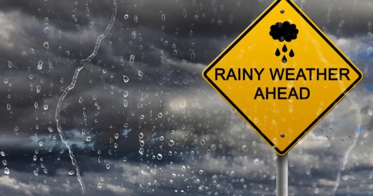
KENTUCKY AND OHIO — A few more showers and thunderstorms are expected to move through parts of Kentucky and southern Ohio tonight, with some communities bracing for a loud and stormy overnight period.
While the overall severe weather threat has dropped slightly compared to earlier forecasts, forecasters warn that some areas could still see a stronger storm push through before conditions settle down.
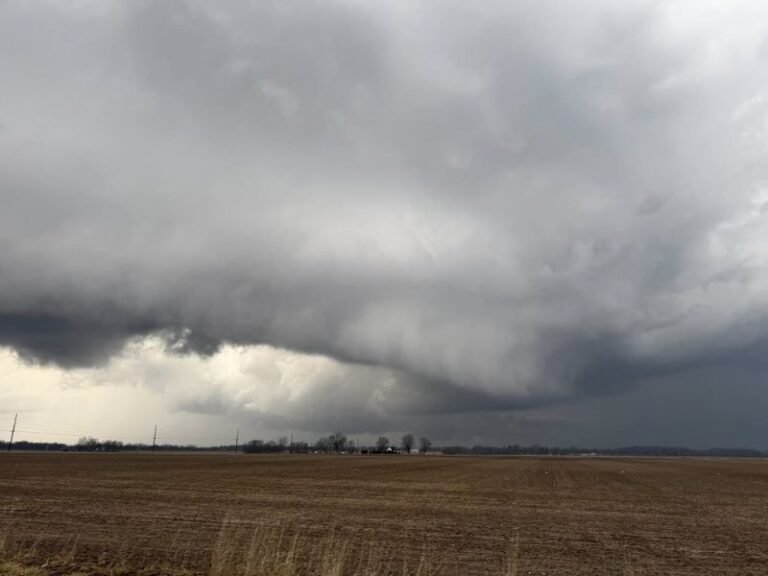
Strong Storms Across South-Central Kentucky
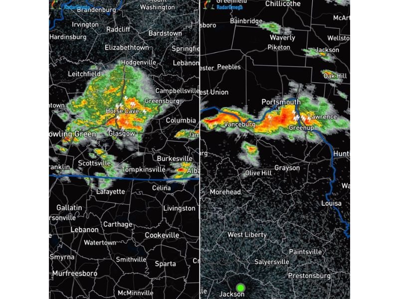
Radar imagery shows a concentrated cluster of storms stretching across south-central Kentucky, including areas near:
- Bowling Green
- Glasgow
- Horse Cave
- Greensburg
- Leitchfield
- Elizabethtown
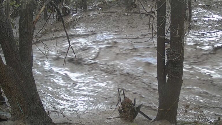
These storms are producing heavy rainfall and frequent lightning, with bright radar returns indicating strong downpours and embedded thunder.
Residents in these areas could experience bursts of intense rain, gusty winds, and frequent lightning strikes through the late evening hours.
Storm Line Tracking Along the Ohio River
Another band of storms is moving through portions of southern Ohio and northeastern Kentucky, including:
- Portsmouth
- Vanceburg
- Greenup
- Lawrence
- Oak Hill
- Jackson
Lightning activity has been visible along this corridor, and radar suggests pockets of heavier rainfall embedded within the line.
While widespread severe weather is not expected, isolated stronger cells could briefly produce gusty winds or small hail.
Severe Risk Lower, But Not Zero
Forecasters note that although the severe weather chance has decreased slightly, it has not completely disappeared.
That means:
- A stronger storm could still move through isolated neighborhoods
- Brief wind gusts may accompany the heaviest cores
- Lightning could become intense at times
For some residents, the main impact overnight may simply be loud thunder and heavy rainfall disrupting sleep.
What to Expect Tonight
Storms are expected to continue moving through the region in waves. Some communities may see multiple rounds of rain and thunder before the system fully shifts east.
Drivers traveling late tonight should watch for:
- Reduced visibility in heavy rain
- Water pooling on roadways
- Sudden lightning flashes
Even where severe criteria are not met, thunderstorms can still produce locally impactful conditions.
Staying Alert Overnight
Because storms will move through during overnight hours, residents are encouraged to keep weather alerts enabled on their phones.
If a warning is issued for your area:
- Move indoors immediately
- Stay away from windows
- Monitor trusted weather sources for updates
While many areas may simply experience a noisy, rain-soaked night, a few communities could see a stronger storm pass directly overhead. Stay with SaludaStandard-Sentinel.com for continued updates as these storms move through Kentucky and Ohio.