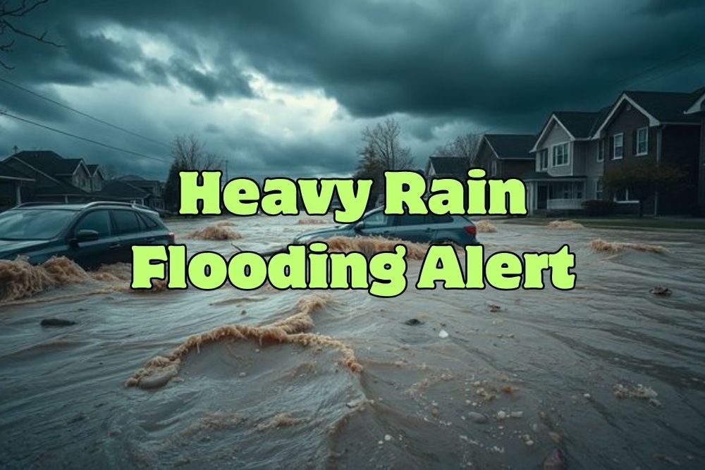
Florida Weather Alert: Disturbance Near Bahamas to Bring Heavy Rain and Flooding
FORT MYERS, FLORIDA — Florida’s East Coast is bracing for a wet and stormy weekend as a broad area of low pressure forming near the Bahamas threatens to dump heavy rainfall and cause localized flooding, meteorologists said Friday.
Area of Low Pressure Near Florida and the Bahamas
According to the Gulf Coast Storm Team, a disturbance off Florida’s Atlantic coast is developing slowly as it interacts with warm tropical waters and upper-level winds.
The National Hurricane Center (NHC) is keeping a close watch on the system, but as of 8 p.m. Friday, the odds of tropical development remain low at 10% over the next two days.
While forecasters do not expect the disturbance to organize into a tropical storm, it will still produce increased rainfall and thunderstorm coverage for much of South and Central Florida.
“Expect scattered storms both afternoons for the Gulf Coast, but neither day will be a washout,” meteorologist Raphael Tavernier said. “The coverage will be much higher along the Atlantic coast, where minor flooding is possible.”
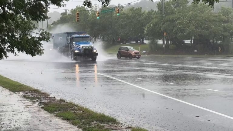
Flooding Possible Along Florida’s East Coast
From West Palm Beach to Melbourne, coastal cities may see several inches of rainfall, with localized flooding possible in low-lying and urban areas.
The heaviest rain bands are expected to arrive between Saturday afternoon and Sunday evening, tapering off early next week as the disturbance moves north.
Winds will also increase along the coast, and hazardous marine conditions could impact small boaters and beachgoers.
Second Area in the Atlantic Shows Stronger Development Potential
While the Florida system remains disorganized, meteorologists are also tracking a tropical wave emerging off the west coast of Africa, which could strengthen as it moves west across the Atlantic.
The NHC gives this second disturbance a 50% chance of tropical development within seven days, and a tropical depression may form as the wave approaches the Lesser Antilles late next week.
If named, the next storm on the 2025 Atlantic hurricane list will be Jerry.
“It’s too early to tell if this system will have any impact on the United States,” the Gulf Coast Storm Team said. “But we’ll continue to monitor and update forecasts through next week.”
Hurricane Season Still Active
The 2025 Atlantic Hurricane Season runs through November 30, and while no organized systems are currently threatening the U.S., forecasters emphasize that October often brings surprise late-season storms.
Residents are encouraged to review hurricane plans, monitor local forecasts, and ensure drainage systems are clear ahead of this weekend’s rain.
“Even though development odds are low, flooding is still possible,” meteorologist Lauren Hope said. “This is a reminder that tropical systems don’t have to be named to bring impacts.”
Preparing for the Rain
Experts recommend Floridians take precautions:
- Avoid driving through flooded streets.
- Move vehicles from low-lying areas.
- Secure outdoor items that could blow around in gusty winds.
- Check sump pumps and gutters for blockages.
Beachgoers should also heed local rip current and surf advisories, which may be issued along Florida’s east coast through the weekend.
Do you think Florida’s late-season storms are becoming more intense due to climate change, or are they part of the state’s natural weather cycle? Share your thoughts and join the conversation at SaludaStandard-Sentinel.com.