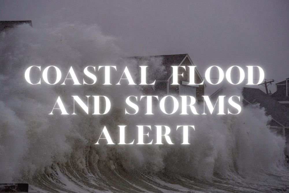
Duval County Weather Alert: Coastal Flooding and Strong Storms Expected Tuesday
JACKSONVILLE, Fla. — Duval County residents are being urged to prepare for coastal flooding, dangerous rip currents, and strong storms as a weather system builds through Tuesday.
Coastal Flood Advisory in Effect
The National Weather Service in Jacksonville has issued a Coastal Flood Advisory from 6 p.m. Tuesday through 5 a.m. Wednesday. Low-lying roads, lots, and parks could see flooding during high tide cycles, with possible closures on heavily traveled routes like A1A.
Authorities warn drivers not to cross barricades or standing water, as it may conceal dangerous depths.
Rip Currents Pose Beach Hazard
A High Rip Current Risk is in effect for Northeast Florida and Southeast Georgia beaches through late Tuesday night. Officials stress that swimmers should avoid the ocean unless lifeguards are present.
Beach safety guidance urges anyone caught in a rip current to float and swim parallel to shore until free.
Storms and Heavy Rain Expected
Thunderstorms will intensify Tuesday afternoon, bringing gusts near 30 mph and locally heavy rainfall. Storm chances continue into Wednesday before easing later in the week.
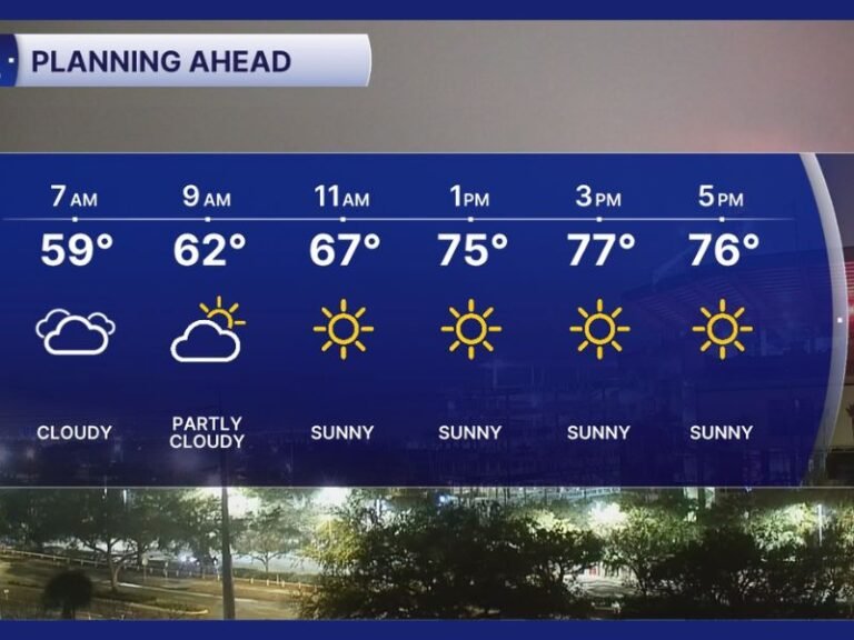
Five-Day Forecast for Jacksonville:
- Tuesday: Showers and storms likely, high near 80. Coastal Flood Advisory in effect.
- Tuesday Night: Storms tapering to showers, low near 73. Flooding possible.
- Wednesday: Showers likely early, breezy with high near 82.
- Thursday: Mostly sunny, drier, high near 83.
- Friday: Partly sunny, isolated storm chance, high near 83.
With flooding, rip currents, and storm threats combined, officials urge both drivers and beachgoers to stay alert and follow all safety advisories.
Have you experienced flooding or storm delays in Jacksonville before? Share your story with us at SaludaStandard-Sentinel.com.