Arctic Blast Brings Dangerous Wind Chill to South Carolina as Thursday Morning Feels Near Zero in Some Areas
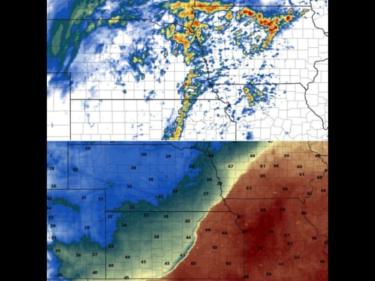
SOUTH CAROLINA — A surge of Arctic air sweeping across the Southeast is expected to bring dangerously cold wind chill values to South Carolina early Thursday morning, making outdoor conditions feel far colder than actual temperatures. Forecast data for 6 a.m. Thursday, January 15 shows much of the state experiencing single-digit wind chills, with some northern and central areas feeling close to zero as strong northwest winds combine with subfreezing air.
Wind Chill Makes Cold Feel More Severe Than Thermometer Readings
While air temperatures across South Carolina are expected to sit mainly in the teens and low 20s, sustained winds will strip away body heat rapidly. This will cause the “feels-like” temperature to drop sharply, especially before sunrise when winds are strongest.
Inland regions, including parts of the Upstate and Midlands, are expected to see the harshest conditions. Even along the coast, wind chills are forecast to dip into the teens, creating uncomfortable and potentially dangerous conditions for anyone outdoors for extended periods.
Early Morning Hours Pose the Greatest Risk
Meteorologists note that the coldest and most uncomfortable period will be between 4 a.m. and 9 a.m. Thursday, when winds remain elevated and temperatures bottom out. During this window, exposed skin can become numb quickly, and frostbite becomes a concern with prolonged exposure.
Residents heading to work, school, or morning activities are urged to limit time outdoors, dress in multiple layers, and ensure all exposed skin is covered. Pets and livestock are also vulnerable during these conditions.
Why This Cold Snap Is So Intense
The extreme wind chills are being driven by a deep Arctic air mass plunging southward behind a strong cold front. This setup allows cold air to funnel directly into the Carolinas while pressure differences keep winds elevated overnight. Although South Carolina typically avoids the worst of winter cold seen farther north, this pattern allows unusually harsh conditions to reach well into the Southeast, even without snow or ice.
Cold Eases Gradually Later Thursday
Conditions are expected to slowly improve by late Thursday afternoon as winds weaken and temperatures recover into the 30s and lower 40s. However, the morning hours remain the primary concern, particularly for commuters and those working outdoors.
Residents are encouraged to check on neighbors, especially the elderly, and take precautions to prevent frozen pipes and other cold-related damage. If you experienced the extreme cold this morning or noticed impacts in your area, share your thoughts with us in the comments and follow ongoing weather coverage at SaludaStandard-Sentinel.com.