Alabama Winter Snow Threat Looks Limited as HRRR Model Shows Only Light Accumulations Through Sunday Evening
ALABAMA — New high-resolution forecast data indicates that snow accumulation across Alabama is expected to remain very limited through Sunday evening, despite widespread claims online suggesting a major winter storm threat.
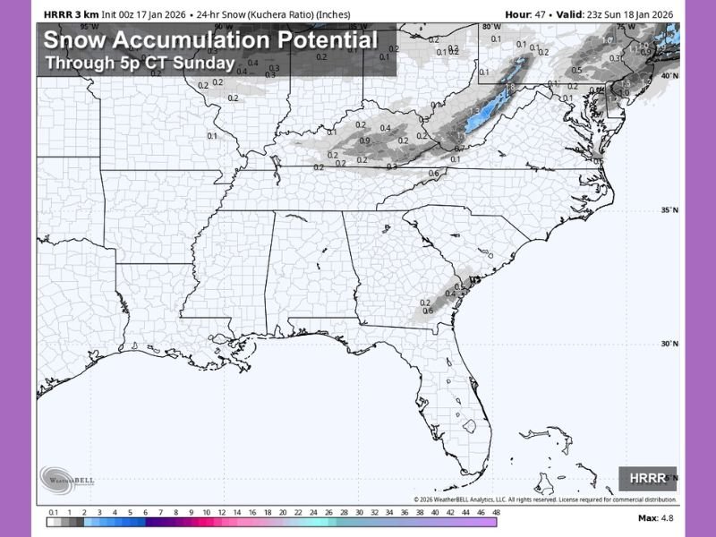
HRRR Model Shows Only Light Snow Potential Through Sunday
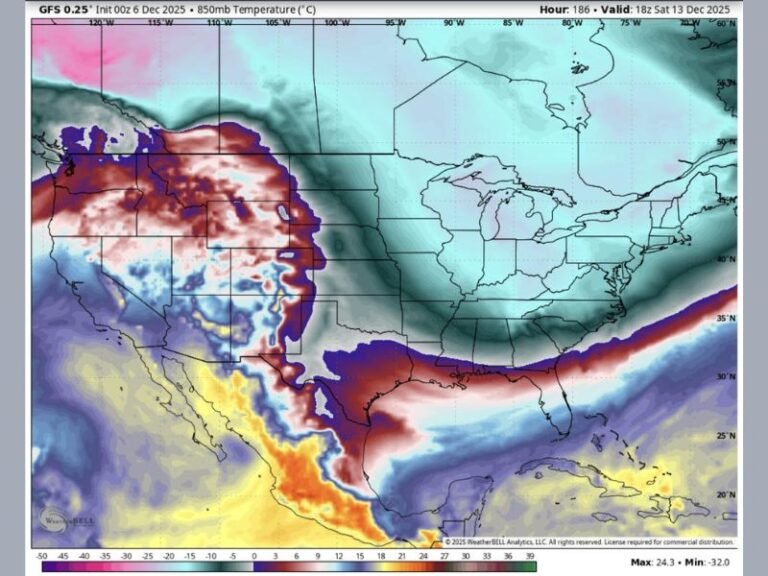
The HRRR (High-Resolution Rapid Refresh) model, which is commonly used for short-term winter forecasting, shows mostly trace to light snow amounts across northern portions of Alabama through 5:00 p.m. Sunday. Most areas are projected to receive little to no measurable accumulation, with only isolated pockets showing minor snow totals.
The data suggests that colder air will be present, but moisture and storm dynamics are not strong enough to support a significant snowfall event.
Northern Alabama May See Brief Flurries or Light Coatings
Forecast guidance places the best chance for snow north of central Alabama, where brief flurries or very light snow showers may develop. In these areas, amounts generally remain under one inch, with many locations seeing only a dusting or no accumulation at all.
Any snow that does fall is expected to be short-lived, with surface temperatures marginally cold enough to support flakes but not sustained accumulation.
Why a Major Winter Storm Is Unlikely for Alabama
Meteorologists note that storm energy remains displaced north of the region, limiting snowfall potential across Alabama. Without a strong surface low or prolonged moisture feed, the setup does not favor a high-impact winter storm.
This type of pattern is common during Southern winter events, where cold air arrives without sufficient moisture, resulting in minimal snowfall despite dramatic model graphics circulating online.
Caution Urged Against Exaggerated Winter Storm Claims
Weather experts are encouraging residents to rely on credible forecast sources rather than social media accounts that repeatedly promote extreme weather scenarios. Sensationalized “snow maps” often exaggerate impacts and can create unnecessary concern.
At this time, travel disruptions and widespread winter hazards are not expected across Alabama based on the latest model guidance.
Cold Weather Continues, But Impacts Remain Limited
While temperatures will remain below seasonal averages, the overall winter impact appears confined to chilly conditions and isolated slick spots where brief snow showers occur. Widespread icing or heavy snow accumulation is not supported by current data.
Forecasts will continue to be monitored, but residents should expect cold weather rather than a significant winter storm heading into the weekend. Have you seen snow or flurries where you live? Share what you’re experiencing and join the conversation with ongoing coverage from SaludaStandard-Sentinel.com.