Storm Coverage Increasing Across Northwest Texas and Southwestern Oklahoma, Few Severe Storms Possible
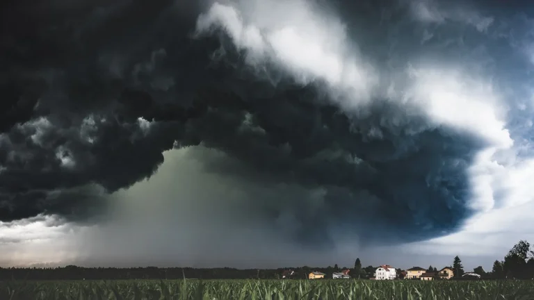
TEXAS — Forecasters are tracking a growing area of showers and thunderstorms developing across northwest Texas and southwestern Oklahoma, with the potential for a few strong to severe storms as the evening progresses.
While a widespread outbreak is not expected, meteorologists caution that localized severe cells could produce gusty winds, small hail, and brief heavy rainfall.
Storm Coverage Expanding Across the Red River Region
According to the latest regional outlook, storms are increasing in coverage and intensity from Sweetwater and Abilene northeast through Wichita Falls, Lawton, and Denton.
The National Weather Service notes that atmospheric instability in the area is sufficient for some storms to briefly reach severe limits, particularly in areas near Wichita Falls, Vernon, and Fort Worth.
No watch has been issued at this time, but forecasters will continue to monitor conditions as the system moves eastward.
Primary Risks: Strong Winds and Hail
Forecasters highlight the main threats from these evening storms include:
- Strong wind gusts up to 60 mph.
- Small hail up to one inch in diameter.
- Brief heavy rainfall that could cause minor flooding in isolated areas.
Lightning and rapid storm development remain possible, and residents are urged to stay alert for sudden changes in weather conditions as the evening progresses.
Communities Within the Risk Zone
Areas most likely to experience stronger storms include:
- Abilene
- Sweetwater
- Wichita Falls
- Vernon
- Lawton
- Denton
- Fort Worth
- Cleburne
- Plano
Although a severe weather watch is not anticipated, forecasters urge residents in these areas to keep a close eye on radar updates through the night.
Monitoring Conditions Through the Evening
Meteorologists expect storm coverage to increase gradually into late evening, before tapering off overnight as the system weakens.
Drivers across Interstate 20 and U.S. 287 are advised to exercise caution, as heavy downpours may temporarily reduce visibility.
Forecasters say the current pattern marks the beginning of a more active weather phase heading into late November, with additional storm chances possible later this week.
Residents are encouraged to monitor local alerts and stay prepared in case new warnings are issued.
For continued severe weather coverage and real-time updates across the South and Midwest, visit SaludaStandard-Sentinel.com.


