Columbia Forecast: Sunny Start to the Week, Storm Chances Build by Thursday Night
COLUMBIA, S.C. — Fall may be officially underway, but Columbia residents will continue to feel mid-summer levels of heat and humidity this week before a stormier weather pattern moves in by Thursday night.
Fog and Heat to Begin the Week
The National Weather Service in Columbia reported that patchy fog could cause reduced visibility for early morning commuters on Tuesday, Sept. 23, especially along I-26, I-20, and I-77. Drivers are urged to allow extra time and use low beams until fog lifts.
By midmorning, skies will clear, leading to mostly sunny conditions with afternoon highs around 92°F. Heat indices could climb into the upper 90s, keeping outdoor workers and athletes under stress despite the calendar reading fall.
Officials recommend hydration and frequent breaks for anyone spending extended time outdoors.
Midweek Outlook
Wednesday continues the trend of hot, humid conditions, with highs near 94°F — well above seasonal averages for late September, which typically hover around 83°F. Overnight lows will remain warm, settling in the low 70s.
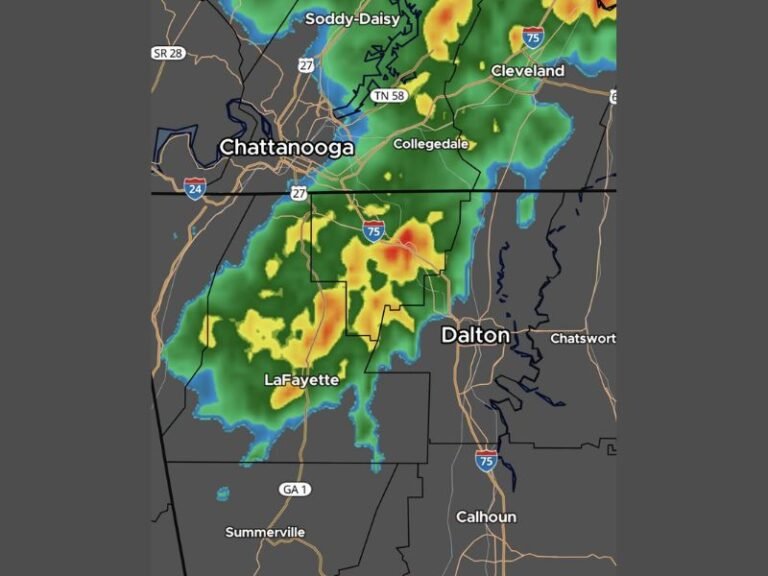
By Wednesday night into Thursday morning, cloud cover begins to increase. On Thursday afternoon, forecasters expect rain chances to rise to 40%, with scattered thunderstorms developing after 2 p.m. Highs will remain near 93°F.
Some storms may bring brief heavy downpours, gusty winds, and lightning, though widespread severe weather is not anticipated.
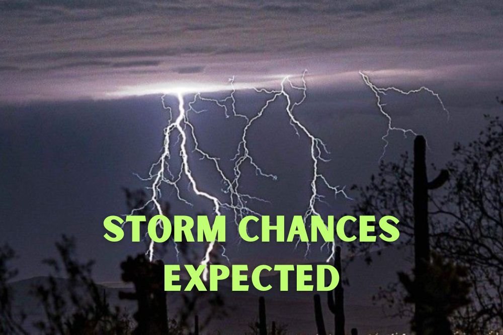
Storm Chances Rise Into Friday
The real change arrives Thursday night into Friday, when rain chances jump to 60–70%. A frontal boundary moving through the Southeast will trigger numerous showers and storms, potentially affecting both morning and evening commutes.
Friday’s high is forecast to drop slightly to 85°F, with higher humidity making conditions muggy and uncomfortable. Forecasters warn of localized flooding in low-lying or poorly drained areas if heavy downpours occur during peak rain periods.
Air travelers using Columbia Metropolitan Airport (CAE) could also face delays from thunderstorms, while outdoor events may need contingency plans.
Weekend Forecast
Saturday should bring partly cloudy skies with a 30% chance of lingering showers, mainly during the afternoon. Highs will hold near 85°F, giving some relief compared to the start of the week.
Sunday appears drier, with mostly sunny skies returning and highs climbing back toward 88°F. Early October may finally bring the first hint of true fall weather, as cooler air is projected to move southward behind the frontal system.
Looking Ahead
Meteorologists say Columbia’s hot start to fall is part of a larger regional pattern, with the Southeast experiencing above-normal temperatures while the Northeast trends cooler.
The Climate Prediction Center indicates that early October could see more seasonal weather return, with highs in the upper 70s and lows dipping into the 50s. For now, residents should brace for one more week of summer-like heat followed by stormy conditions.
Do you think Columbia is ready for the shift from summer’s lingering heat to stormier fall weather? Share your updates with us at SaludaStandard-Sentinel.com.