South Carolina Faces Rare August Cool-Down With Rain Through Midweek
COLUMBIA, S.C. — After enduring a sweltering July with weeks of triple-digit heat indices, South Carolina residents are now pulling out umbrellas and light jackets as cooler air and steady rain take over much of the state. Forecasters say this unseasonable pattern will linger through the middle of the week, giving the Palmetto State a rare summer break from extreme heat.
Cooler Air Takes Hold Across South Carolina
A stationary front stalled near the coast, combined with tropical moisture and a coastal low, has created a persistent stretch of rain and unusually cool temperatures. Some areas are experiencing highs in the upper 70s to low 80s — nearly 10–15 degrees below typical August averages.
“This is definitely not what most people expect for the first full week of August,” said Chief Meteorologist Jim Gandy. “You have cooler air locked in behind the system, and with cloud cover and steady rain, temperatures just can’t warm up.”
Showers Continue, Especially in Central and Eastern Counties
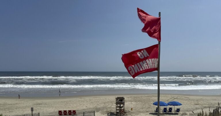
Widespread rain showers and thunderstorms are expected to continue through Wednesday, with some localized flooding possible in low-lying or poorly drained areas. The National Weather Service is monitoring potential flash flood risks, especially in the Pee Dee, Midlands, and Lowcountry regions.
As of Monday, several locations had already recorded multiple inches of rainfall. While the storms aren’t overly intense, their slow-moving nature increases the risk of urban flooding and water pooling on roads.
Relief from the Heat—but For How Long?
While many are enjoying the break from oppressive heat, this unusual August chill won’t last forever. Meteorologists predict that temperatures will gradually rise again by the weekend, with highs returning to the upper 80s and low 90s.
Still, for now, the cooler conditions have provided welcome relief for residents, particularly vulnerable populations like the elderly and outdoor workers.
“This gives everyone a chance to recover after the brutal July,” said weather analyst Angela Pryor. “It’s not common, but it’s very refreshing.”
Uncertainty for Late Summer Outlook
Long-range models remain unclear about whether South Carolina will continue to see these temperature dips or revert to hotter, more humid conditions typical for mid-August.
Climate experts note that variability in Atlantic moisture patterns, combined with El Niño development, could lead to intermittent fluctuations in weather through late summer.
“It’s a wait-and-see pattern,” said Pryor. “But what we’re seeing now is certainly out of the ordinary.”
What’s the weather like in your area? Have you noticed this rare cool spell where you live? Share your observations in the comments on SaludaStandard-Sentinel.com.